Map size in jpg-format: 79.3431MiB
Click to open in high resolution (open in new tab).
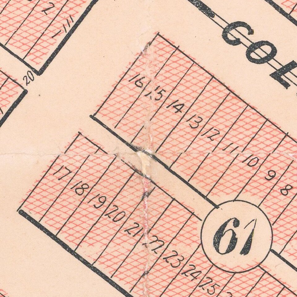
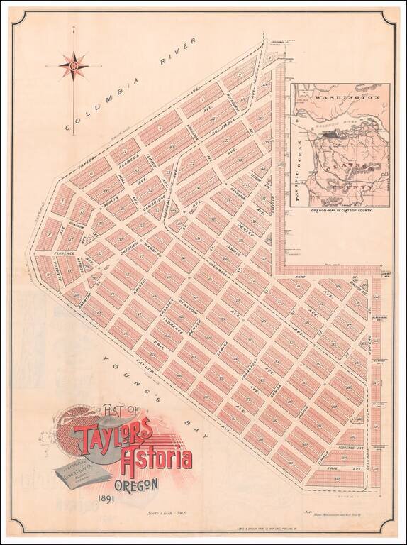
Rare promotional plan of Taylors Astoria subdivision, published in Portland in 1891.
Taylors Astoria is situated on the Columbia River at Young's Bay, just east of Fort Stevens and the Astoria Lighthouse.
The map inset shows that a proposed rail link via the Astoria and South Coast Railway was anticipated.
The printing on the verso is unfortunately obscured by the linen, but the linen would seem to be removable.
If you are a student, write to us in telegram: @antiquemaps and indicate what material you need and for what work you need a map in high detail. We are ready to provide material on special terms. For students only!