logo

1861. Plano del Estado de Campeche 1861. Formado en la Agencia del Ministerio de Fomento en Campeche con vista en su mayor parte de los datos Topográficos é* hidrográficos reunidos por ella y otros datos y noticias que se tuvieron presentes por H. Fremont.

  • Plano del Estado de Campeche 1861. Formado en la Agencia del Ministerio de Fomento en Campeche con vista en su mayor parte de los datos Topográficos é* hidrográficos reunidos por ella y otros datos y noticias que se tuvieron presentes por H. Fremont.

Plano del Estado de Campeche 1861. Formado en la Agencia del Ministerio de Fomento en Campeche con vista en su mayor parte de los datos Topográficos é* hidrográficos reunidos por ella y otros datos y noticias que se tuvieron presentes por H. Fremont. information:

Year of creation: 
Resolution size (pixels): 
 13061x17106 px
Disk Size: 
 44.242MiB
Number of pages: 
 1
Place: 
 Mexico, D.F.
Author: 

Print information. Print size (Width x height in inches):
Printing at 72 dpi 
  181.4 х 237.58
Printing at 150 dpi 
 87.07 х 114.04
Printing at 300 dpi 
 43.54 х 57.02

An example of detailing the file of this map of in a printable high-resolution:

Click to open in high resolution (open in new tab).
Attention! this is just the central piece (central area 960x960 px) of the map file!
This is an example, so that you can see and study the level of detail of a given map. The entire Map will be fully available after payment!

Plano del Estado de Campeche 1861. Formado en la Agencia del Ministerio de Fomento en Campeche con vista en su mayor parte de los datos Topográficos é* hidrográficos reunidos por ella y otros datos y noticias que se tuvieron presentes por H. Fremont.

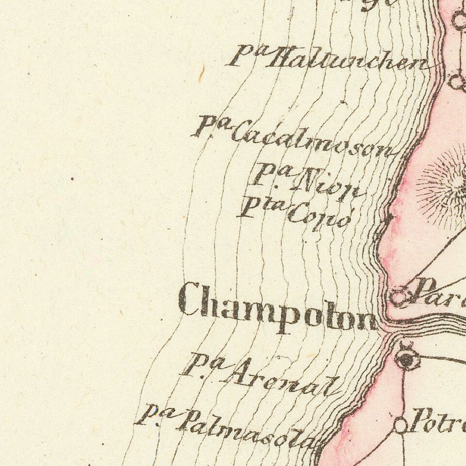
Detailed lithographed map of the Mexican State of Campeche on the western side of the Yucatan Peninsula, published in Mexico in 1861.

The map differentiates between eight (!) different kinds of settlements, including haciendas, rancherias, villas, pueblos, etc.

Interestingly, there "Pueblo destruido" (destroyed towns) are also labeled as such. These destroyed towns may be related to the Yucatan Caste War. Most of these destroyed towns are in the mountainous interior.

Rare. No copies located in OCLC.

The lithographer's imprint reads: "Lithog de Iriarte y Cd. Sta Clara 23. Mexico."


Special conditions for students!

If you are a student, write to us in telegram: @antiquemaps and indicate what material you need and for what work you need a map in high detail. We are ready to provide material on special terms. For students only!

Item information:

Year of creation:
Size:
13061x17106 px
Disk:
44.242MiB
Number of pages:
1
Place:
Mexico, D.F.
Author:
H. Fremont.
$14.99

Related item