Map size in jpg-format: 3.02684MiB
Click to open in high resolution (open in new tab).
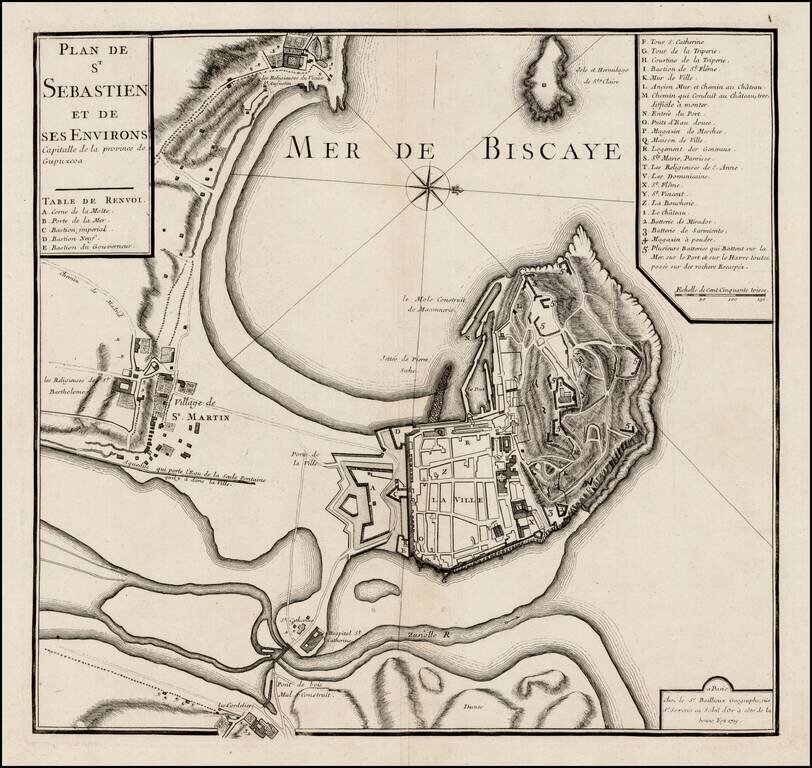
Rare plan of San Sebastien, published by Gaspar Bailleul in Paris.
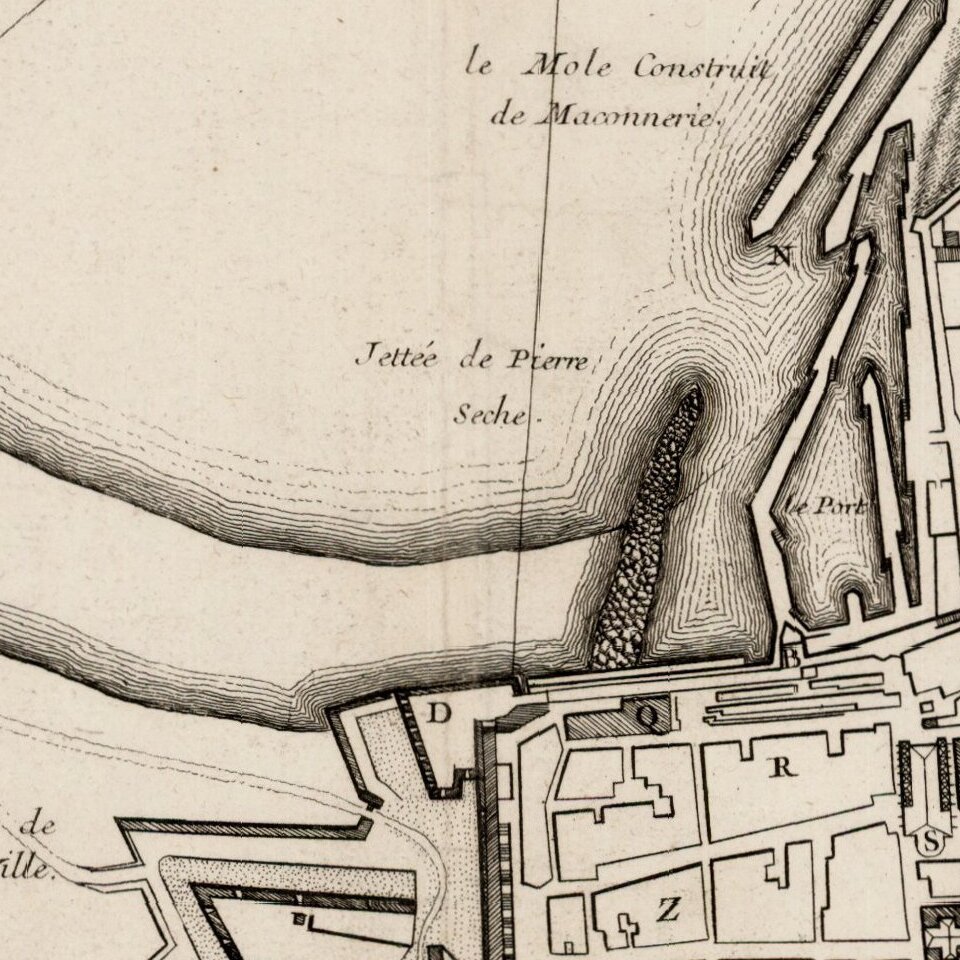
The map shows the bay and fortifications of San Sebastien, St. Martin and environs. The roads and gates between the settlement area also shown. A key locates approximately 30 points of interest.
The map was likely prepared at or about the time of the French Siege of San Sebastien in 1721. The town was besieged and taken over by the troops of the French Duke of Berwick up to 1721.
The map is quite scarce, with no appearance on the market in the past 25 years.
If you are a student, write to us in telegram: @antiquemaps and indicate what material you need and for what work you need a map in high detail. We are ready to provide material on special terms. For students only!
![(Pro-Spanish Republic Political Broadside) [Lift The Embargo Against The Spanish Republic] President Roosevelt says . . .](/map/small/50218.jpg)

