Map size in jpg-format: 7.11588MiB
Click to open in high resolution (open in new tab).

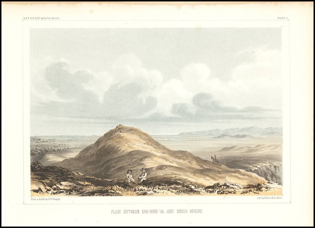
Detailed view of the Valley of the Kah Wee Yah River (Tulare River) and the Kings River.
From Reports of Explorations and Surveys, to ascertain the most practicable and economical route for a railroad from the Mississippi River to the Pacific Ocean, made under the direction of the Secretary of War, in 1853-4.
If you are a student, write to us in telegram: @antiquemaps and indicate what material you need and for what work you need a map in high detail. We are ready to provide material on special terms. For students only!


