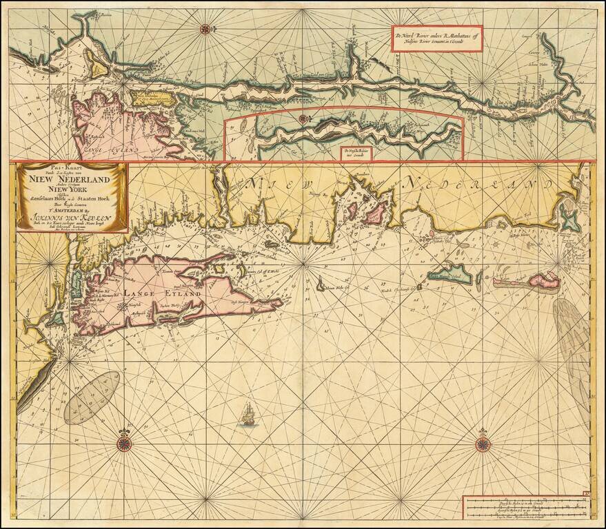
logo

1930. Picture Map of Massachusetts

  • Picture Map of Massachusetts

Picture Map of Massachusetts information:

Year of creation: 
Resolution size (pixels): 
 20750x14120 px
Disk Size: 
 79.4253MiB
Number of pages: 
 1
Place: 
 New York
Author: 

Print information. Print size (Width x height in inches):
Printing at 72 dpi 
  288.19 х 196.11
Printing at 150 dpi 
 138.33 х 94.13
Printing at 300 dpi 
 69.17 х 47.07

An example of detailing the file of this map of in a printable high-resolution:

Click to open in high resolution (open in new tab).
Attention! this is just the central piece (central area 960x960 px) of the map file!
This is an example, so that you can see and study the level of detail of a given map. The entire Map will be fully available after payment!

Picture Map of Massachusetts

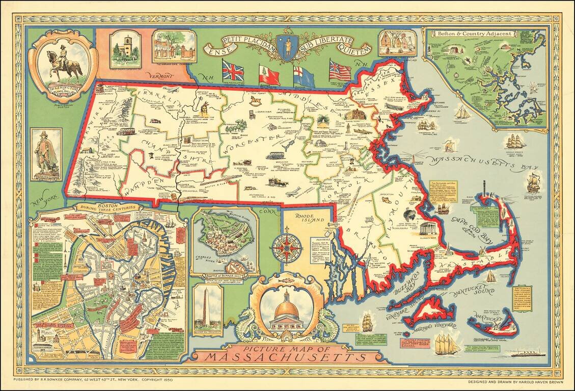
Decorative pictorial map of Massachusetts designed and drawn by Harold Haven Brown.

Inset maps include:

  • Boston During Three Centuries (a map of the centre of Boston, with detailed commentary)
  • Battle of Bunker Hill ("After and Old Map Published in London, September, 1725)
  • Boston & Country Adjacent.

Other pictorial elements include an elaborate cartouche with sea horses, a decorative compass rose, and images of historical places and events.


Special conditions for students!

If you are a student, write to us in telegram: @antiquemaps and indicate what material you need and for what work you need a map in high detail. We are ready to provide material on special terms. For students only!

Item information:

Year of creation:
Size:
20750x14120 px
Disk:
79.4253MiB
Number of pages:
1
Place:
New York
Author:
Harold Haven Brown.
$21.99

Related item