
Map size in jpg-format: 46.0554MiB
Click to open in high resolution (open in new tab).
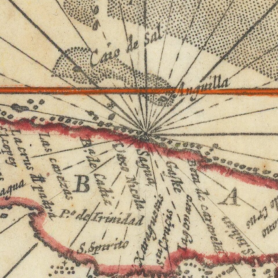
Scarce chart of the Caribbean, Florida, Gulf Coast and Southeastern part of North America, with inset of the north coast of Cuba.
Goos based his general chart of the West Indies, Gulf Coast and Southeast on the manuscript maps of Hessel Gerritsz, c.1631. In some ways it follows more than most the original by Gerritsz, as it is the first to include the inset of the north-west coast of Cuba. However, the map follows the work of Van Loon, 1661, in the Gulf of Mexico, and the Doncker, 1659, in its orientation of the southeast coastline, although Goos has improved the scale and depiction of the Outer Banks.
If you are a student, write to us in telegram: @antiquemaps and indicate what material you need and for what work you need a map in high detail. We are ready to provide material on special terms. For students only!

![[Wall Map] West-Indische Paskaert waer in de graden der breedde over weder zyden vande middelyn wassende so vergrooten dat die geproportioneert syn tegen hunne nevenstaende graden de lengde.](/map/small/60169.jpg)
