Map size in jpg-format: 17.8498MiB
Click to open in high resolution (open in new tab).
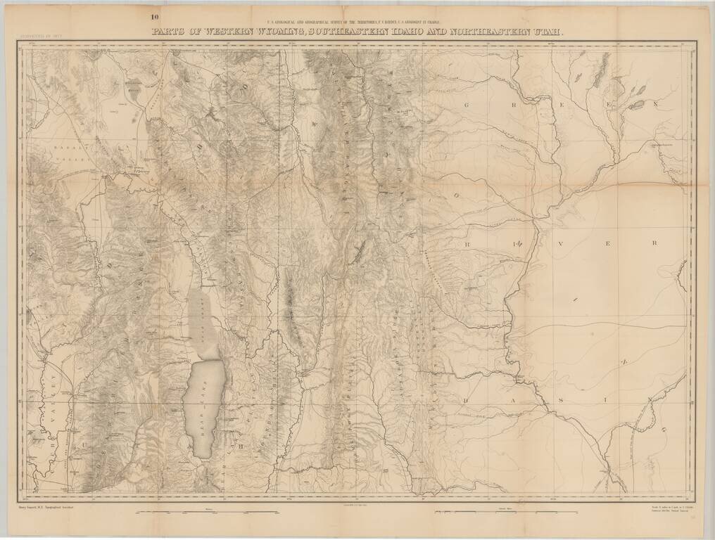
Fine large format map of the region just south of Yellowstone National Park, as surveyed in 1877 by the Hayden Survey.
The map extends from Logan, Utah and the Black Foot Marsh (now Reservoir) in the West, to Fremont Lake Wyoming, and the confluence of the Green River and the Big Sandy River in Wyoming.
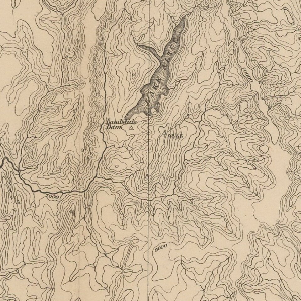
The map provides a meticulous topographical treatment of the region, including wagon roads, ferries, rivers, mountains, forts and settlements. The route of the Utah and Northern Railroad is shown west of Bear Lake. The Old Fort Hall Overland Road is noted, as is Lander's Cut off.
After the American Civil War Ferdinand Vandeveer Hayden led geographic and geologic surveys of the Nebraska and Western Territories for the United States Government. In 1867 he was appointed geologist-in-charge of the United States Geological and Geographical Survey of the Territories.
Hayden organized and led previous expeditions into the Rocky Mountains, both before and after the Civil War. In 1869, he led an expedition along the Front Range to Denver and Santa Fe. In 1870 he received an $25,000 governmental grant to lead a 20-man expedition to South Pass, Fort Bridger, Henry's Fork, and back to Cheyenne.
In 1871, Hayden led a geological survey into the Yellowstone region of northwestern Wyoming. The survey consisted of some 50 men which included notables such as Thomas Moran, painter and famous frontier/Civil War photographer William Henry Jackson. The following year Hayden and his work Preliminary Report of the United States Geological Survey of Montana and Portions of Adjacent Territories; Being a Fifth Annual Report of Progress was instrumental in convincing Congress to establish Yellowstone as the first U.S. National Park, aided by Jackson's stunning large-format photographs and Moran's dramatic paintings. These publications also encouraged the westward expansion of the United States
From his twelve years of labor and annual survey journeys there resulted a most valuable series of volumes in all branches of natural history and economic science; and he issued in 1877 his Geological and Geographical Atlas of Colorado. The last of the annual survey journeys was in 1878. As a result of Hayden's extensive geological work, he uncovered numerous dinosaur fossils which he brought back east with him for further scientific study. Much of what he brought back is still housed in the collection of the Smithsonian Institution.
If you are a student, write to us in telegram: @antiquemaps and indicate what material you need and for what work you need a map in high detail. We are ready to provide material on special terms. For students only!

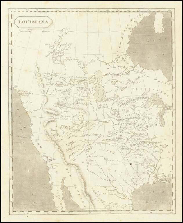
![Carte Du Mexique et de la Floride des Terres Angloises et des Isles Antilles du Cours et des Environs de la Riviere Mississipi . . . Rue Des Canettes . . . 1703 [1st State]](/map/small/66307op.jpg)