Map size in jpg-format: 263009B
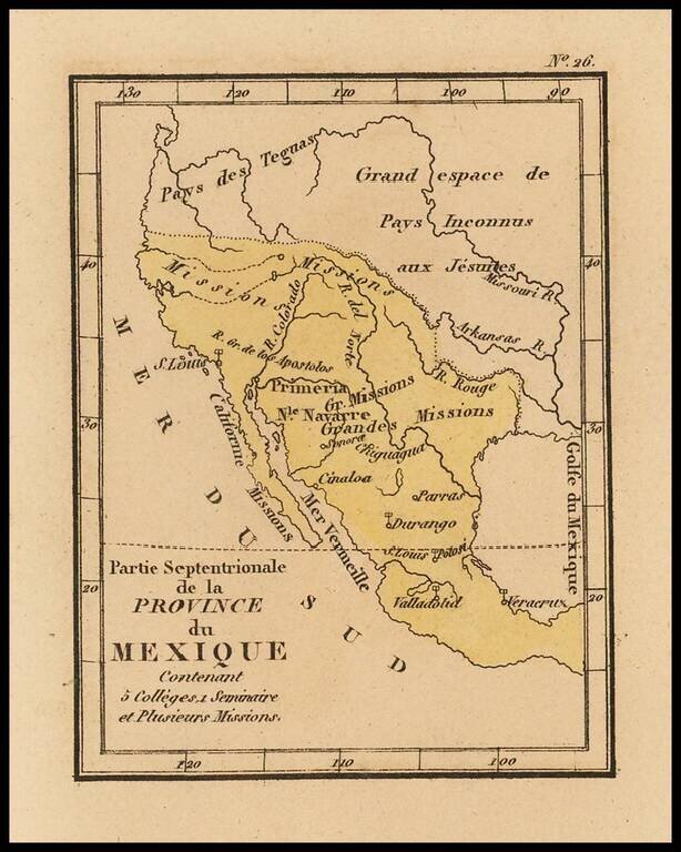
Rare map of Texas, Upper California and Mexico from Louis Denis' Atlas Universel indiquant les établissemens des Jésuites: avec la manière dont ils divisent la terre, suivi desévénemens remarquables de leur histoire.
Denis' atlas illustrates the Jesuits in the different parts of the world in sixteen pages and is illustrated with 46 numbered maps.
This is a completely new edition of Louis Denis' also unusual atlas published in 1764.
Louis Denis (1725-1794) was a French geographer and cartographer best known for his incomplete road atlas of France, Le Conducteur français. Originally trained as an engraver, he partnered with Louis-Charles Desnos to create and edit maps. Later, Denis served as geography tutor to the children of the French royal family. His pupils included the Duc de Berry, the future Louis XVI.
If you are a student, write to us in telegram: @antiquemaps and indicate what material you need and for what work you need a map in high detail. We are ready to provide material on special terms. For students only!


