logo

1928. Official Map of Montana Revised May 1, 1928

  • Official Map of Montana Revised May 1, 1928
  • Official Map of Montana Revised May 1, 1928

Official Map of Montana Revised May 1, 1928 information:

Year of creation: 
Resolution size (pixels): 
 20701x13194 px
Disk Size: 
 80613800B
Number of pages: 
 2
Place: 
 St. Paul, MN

Print information. Print size (Width x height in inches):
Printing at 72 dpi 
  287.51 х 183.25
Printing at 150 dpi 
 138.01 х 87.96
Printing at 300 dpi 
 69 х 43.98

An example of detailing the file of this map of in a printable high-resolution:

Click to open in high resolution (open in new tab).
Attention! this is just the central piece (central area 960x960 px) of the map file!
This is an example, so that you can see and study the level of detail of a given map. The entire Map will be fully available after payment!

Official Map of Montana Revised May 1, 1928

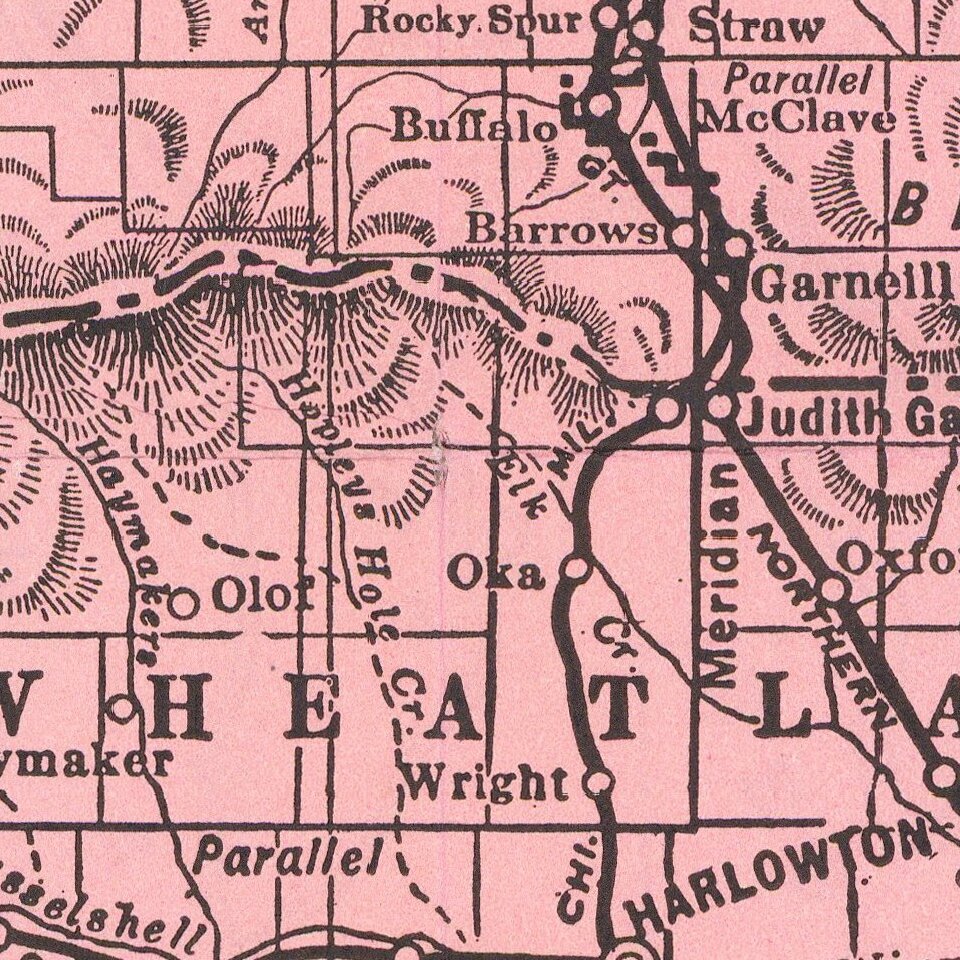
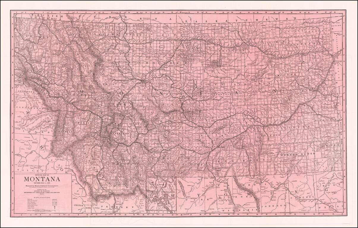
Fine large format map of Montana, published by the Board of Railroad Commissioners.

Shows Railroads, Proposed Railroads, and Indian Reservations shown.

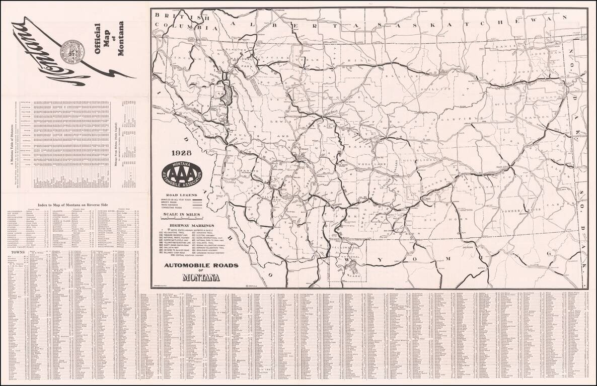
Automobile Roads on the verso.


Special conditions for students!

If you are a student, write to us in telegram: @antiquemaps and indicate what material you need and for what work you need a map in high detail. We are ready to provide material on special terms. For students only!

Item information:

Year of creation:
Size:
20701x13194 px
Disk:
80613800B
Number of pages:
2
Place:
St. Paul, MN
Author:
Montana Railroad Commission.
$21.99

Related item