logo

1812. Oceanique Oriente.

  • Oceanique  Oriente.

Map size in jpg-format: 13.0177MiB

Download "Oceanique Oriente.", in high resolution.

Oceanique Oriente. information:

Year of creation: 
Resolution size (pixels): 
 7703x5748 px
Disk Size: 
 13.0177MiB
Number of pages: 
 1
Place: 
 Paris
Author: 

Print information. Print size (Width x height in inches):
Printing at 72 dpi 
  106.99 х 79.83
Printing at 150 dpi 
 51.35 х 38.32
Printing at 300 dpi 
 25.68 х 19.16

An example of detailing the file of this map of in a printable high-resolution:

Click to open in high resolution (open in new tab).
Attention! this is just the central piece (central area 960x960 px) of the map file!
This is an example, so that you can see and study the level of detail of a given map. The entire Map will be fully available after payment!

Oceanique  Oriente.

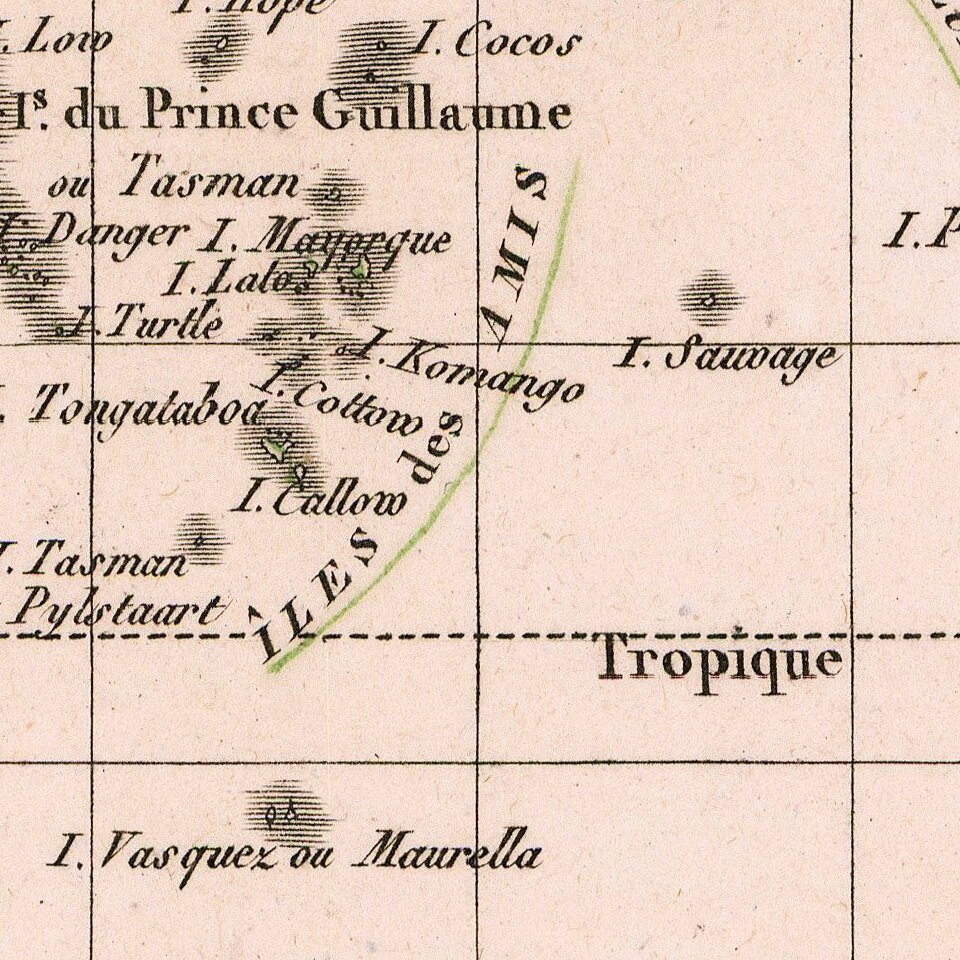
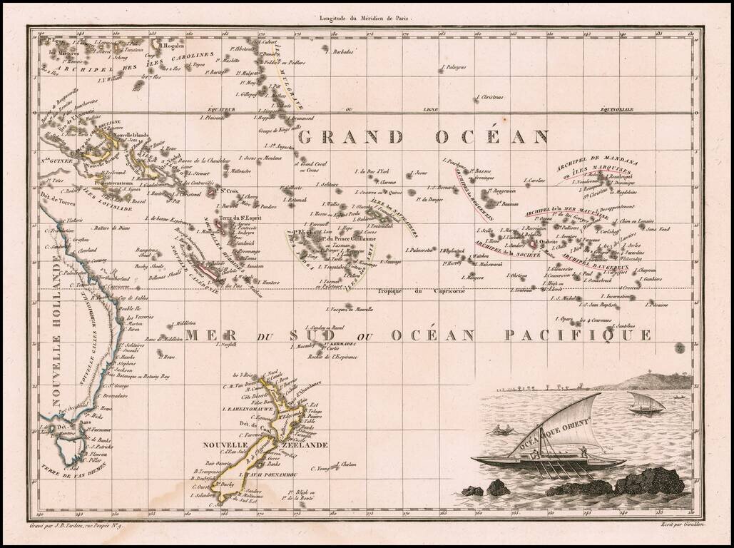
Decorative antique engraved map of the Eastern Pacific, from the Carolines, Eastern Australia, and Tasmania to the Marquesas, including all of New Zealand.

Malte Brun's maps were extremely well researched, utilizing the most up to date information. This map includes a decorative cartouche with native sailing vessels.


Special conditions for students!

If you are a student, write to us in telegram: @antiquemaps and indicate what material you need and for what work you need a map in high detail. We are ready to provide material on special terms. For students only!

Item information:

Year of creation:
Size:
7703x5748 px
Disk:
13.0177MiB
Number of pages:
1
Place:
Paris
Author:
Conrad Malte-Brun.
$14.99

Related item