logo

1780. Nouvelle Carte de L'Istrie Suivant le Plan dresse sur les lieux . . . 1780

  • Nouvelle Carte de L'Istrie Suivant le Plan dresse sur les lieux . . . 1780

Nouvelle Carte de L'Istrie Suivant le Plan dresse sur les lieux . . . 1780 information:

Year of creation: 
Resolution size (pixels): 
 4886x3968 px
Disk Size: 
 3.22979MiB
Number of pages: 
 1
Place: 
 Venice

Print information. Print size (Width x height in inches):
Printing at 72 dpi 
  67.86 х 55.11
Printing at 150 dpi 
 32.57 х 26.45
Printing at 300 dpi 
 16.29 х 13.23

An example of detailing the file of this map of in a printable high-resolution:

Click to open in high resolution (open in new tab).
Attention! this is just the central piece (central area 960x960 px) of the map file!
This is an example, so that you can see and study the level of detail of a given map. The entire Map will be fully available after payment!

Nouvelle Carte de L'Istrie Suivant le Plan dresse sur les lieux . . . 1780

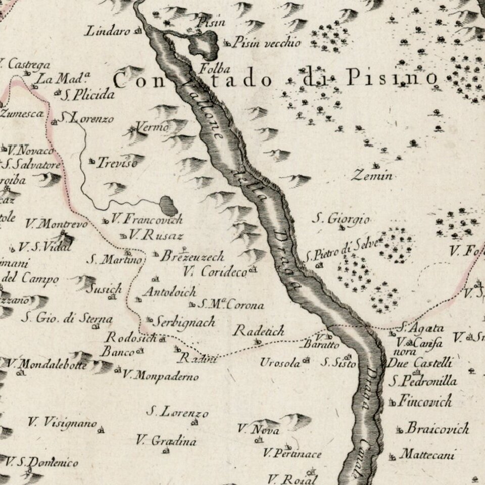
Detailed map of Istria, from Remondini.

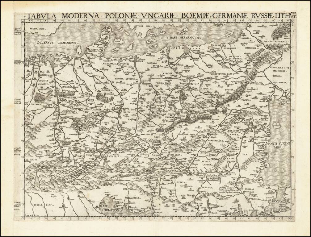
Detailed map of the region, with decorative cartouche.


Special conditions for students!

If you are a student, write to us in telegram: @antiquemaps and indicate what material you need and for what work you need a map in high detail. We are ready to provide material on special terms. For students only!

Item information:

Year of creation:
Size:
4886x3968 px
Disk:
3.22979MiB
Number of pages:
1
Place:
Venice
Author:
Giovanni Antonio Remondini.
$14.99

Related item