Map size in jpg-format: 86.4269MiB
Click to open in high resolution (open in new tab).
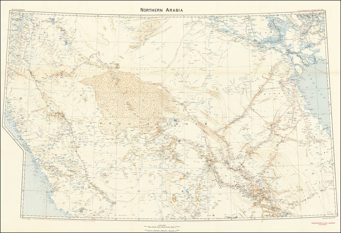
A Map to Illustrate Captain William Shakespear's Last Journey
Highly detailed map was produced by the British War Office for the Royal Geographical Society with the permission of the controller of His Majesty’s Stationery Office in March 1922.
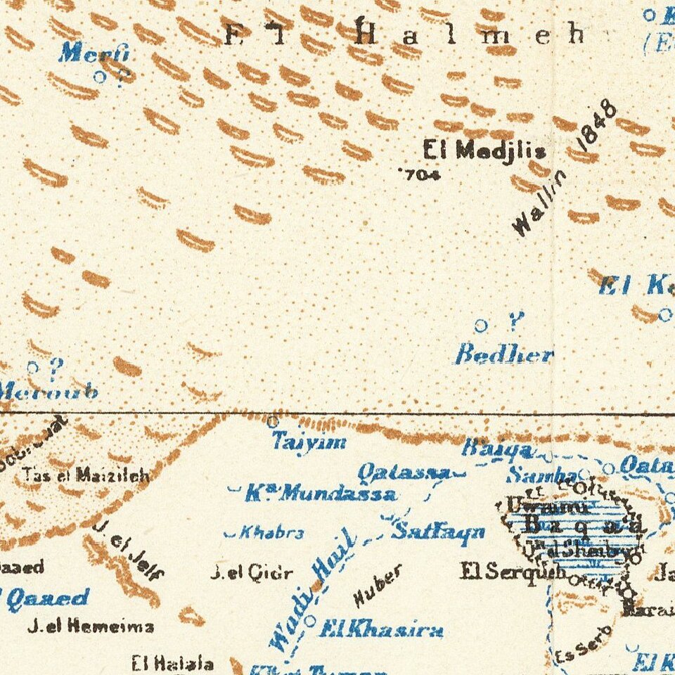
The map illustrates the physical features of northern Arabia, i.e., the steppe from Arabian Hasa (often seen as Ahsa) in the southeast to Jerusalem in the northwest. The map detail includes altitude contour lines, lakes, rivers, and seasonal stream courses (wadis).
The map identifies the trails and encampments of earlier travelers and explorers, such as Gertrude Bell (1868−1926), Charles Montagu Doughty (1843−1926), and Captain William Shakespear (1878−1915).
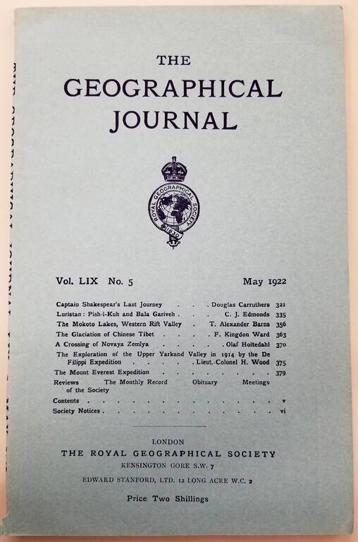
The map was prepared to accompany a Royal Geographical Society journal article by Douglas Carruthers, “Captain Shakespear’s Last Journey,” published in Geographical Journal in May 1922.
The pilgrimage routes to Mecca from Syria and Egypt are clearly shown. Significant human features, such as ancient ruins or contemporary oil fields, are absent.
The border between Iran and Iraq is the only international boundary shown, as the other borders of the Arabian Desert were still under negotiation between the British and the tribal leaders of Kuwait, southern Iraq, and Nejd (or Najd) in present-day Saudi Arabia.
Captain William Shakespear
In March, 1914, Captain Shakespear travelled 1250 Kilometers from Kuwait to Riyadh and thereafter on to Aqaba. Shakespear undertook meticulous observations, mapping and studying the region in great detail, the first European to do so.
In November, 1914, The British asked Captain Shakespear to secure Ibn Sa'ud's support for a British-Indian Mesopotamian Expeditionary Force, which had just taken Basra.
At the Battle of Jarrab in January 1915, Ibn Sa'ud encouraged Shakespear to clear the area before the battle commenced. Shakesepar declined and died during the fighting. The victorious Rashidis decapitated Shakespear and his solar helmet was given to the Ottoman authorities and hung on one of the main gates of Medina as proof of the Al Sau'ds' collaboration with the British.
Rarity
The map appears periodically on the market. An archive of Carruthers material, including this map and extensive printed material sold at Sothebys in April 2015 for 37,500 GBP. http://www.sothebys.com/en/auctions/ecatalogue/2015/travel-atlases-maps-natural-history-l15401/lot.189.html
If you are a student, write to us in telegram: @antiquemaps and indicate what material you need and for what work you need a map in high detail. We are ready to provide material on special terms. For students only!

![[Europe, Mediterranean, Asia Minor and the Persian Empire]](/map/small/43558.jpg)
