Map size in jpg-format: 37.3884MiB
Click to open in high resolution (open in new tab).
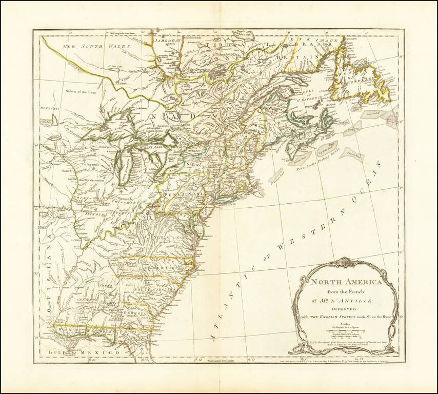
The third state of Jefferys map of the British Colonies, based upon D'Anville's map.
This third state was issued after the conclusion of the French and Indian War. The map shows the Colonies on the eve of the American Revolutionary War. A note in the title cartouche states that the Boundaries of the Provinces since the conquest of Canada are laid down as settled by the King in Council. This note appears in the second state as well. The map shows the various colonial claims running to the Mississippi, but the colorist has conservatively limited the borders to the Appalachian Mountains. The boundary between New England and Virginia as established by Charter in 1609 is shown, although the date is omitted.
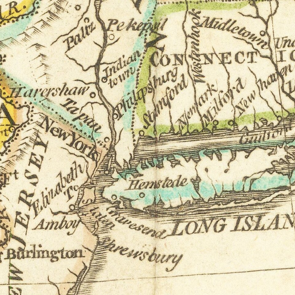
The map is rich with details west of the Appalachians, including Indian Tribes, early French and English forts and other contemporary information on the eve of the revolution. Main is named, but [New] Hampshire takes up all of Vermont. Massachusetts Bay and Delaware Bay are named, as are East and West Florida. The region west of the Mississippi is dominated by Spanish Louisiana Territory, with the lands between the Mississippi and the Appalachians controlled by Indian Tribes.
The original issue of this map was annotated to include a list of French encroachments into the territory claimed by England and a description of the English claims.
If you are a student, write to us in telegram: @antiquemaps and indicate what material you need and for what work you need a map in high detail. We are ready to provide material on special terms. For students only!

![[Signed Political Satire Artwork] Vietnam ... Vietnam ... Vietnam ...](/map/small/68726.jpg)
