Map size in jpg-format: 27.8377MiB
Click to open in high resolution (open in new tab).
Including Roop County
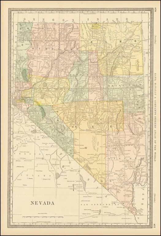
Fine early map of Nevada, colored by counties, and showing the extent of the township surveys to date, including the now extinct Roop County, which was the subject of a major boundary dispute.
The year 1882 is an historically significant year in the evolution of Nevada's country configurations. The now extinct Roop County is shown, along with a straight north-south running county line between Lander & Eureka Counties, which would be modified the following year to its current more serpentine configuration.
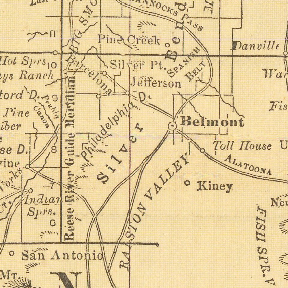
The map is packed with contemporary information, including towns, mines, mountains, elevations, military and Indian lands (with dates of Reservation Acts and other notes), lakes, rivers, early roads and a host of other information.
The Roop County War or Sagebrush War
Roop County (1862-1883) was originally created as Lake County in 1861, one of the original nine counties of Nevada. In 1862 Lake County was renamed Roop County after Isaac Roop, a Governor of the unofficial Nataqua Territory which had previously existed in the same area. At the time Roop County was created, the border between Nevada and California was poorly defined in Nevada's Organic Act, and much of Roop County, including Susanville, was claimed by California and included in Plumas County, California.The establishment of Lake (later, Roop) County in northwestern Nevada created a boundary dispute with California. This has been called the Roop County War, the War of Injunctions, or the Sagebrush War.
This resulted in the appointment of a joint California-Nevada boundary survey, with Surveyor-General J.F. Houghton acting for California and Butler Ives, for the Territory of Nevada. The final surveyors report, accepted by California on April 4, 1864, and by Nevada on February 7, 1865, proved that the Honey Lake area was in California. The California portion of Roop County became Lassen County, California, in 1864. The remainder was ceded to Washoe County, Nevada.
If you are a student, write to us in telegram: @antiquemaps and indicate what material you need and for what work you need a map in high detail. We are ready to provide material on special terms. For students only!

![Mexique par Th. Duvotenay…1843 [Republic of Texas]](/map/small/67925.jpg)
