Map size in jpg-format: 15.6375MiB
Click to open in high resolution (open in new tab).
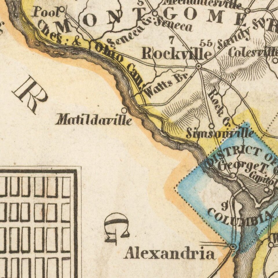
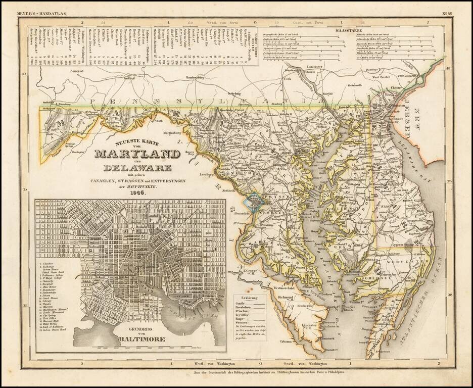
An elegantly engraved and highly detailed map of Maryland and Delaware, with a large inset plan of Baltimore.
The map is based upon Tanner's work in the early 1840s. Shows counties, towns, roads, canals, lakes, etc.
While often referred to as the German Mitchell, this characterization is unfair, as the work appears to be a collaborative effort which predates the sale of Tanner's plates to SA Mitchell. Of great interest is the suggestion that the work was published in Hildburghausen, Philadelphia and Paris, although no evidence of a French edition is known to us. The engraving quality on this fine item surpasses its American counterpart.
Joseph Meyer (1796-1856) was a German publisher who released Meyers Konversations-Lexikon, a German-language encyclopedia in print from 1839 to 1984. Meyer was born in Gotha and educated as a merchant in Frankfurt, an important city in the book trade. He traveled in London in 1816 and was back in German in 1820, where he began to invest in textiles and railways. He opened his publishing operation, Bibliographisches Institut, in 1826. His publications each had a serial number, a new innovation at the time. He was best known for his atlases and the Meyers Universum (1833-1861), which featured steel-engravings of the world. The Universum stretched to 17 volumes in 12 languages and was subscribed to by 80,000 people all over Europe. Thanks to his publishing success, Meyer moved the Institut from Gotha to Hildburghausen in 1828. Meyer died in the latter city in 1856.
If you are a student, write to us in telegram: @antiquemaps and indicate what material you need and for what work you need a map in high detail. We are ready to provide material on special terms. For students only!