Map size in jpg-format: 80.5285MiB
Click to open in high resolution (open in new tab).
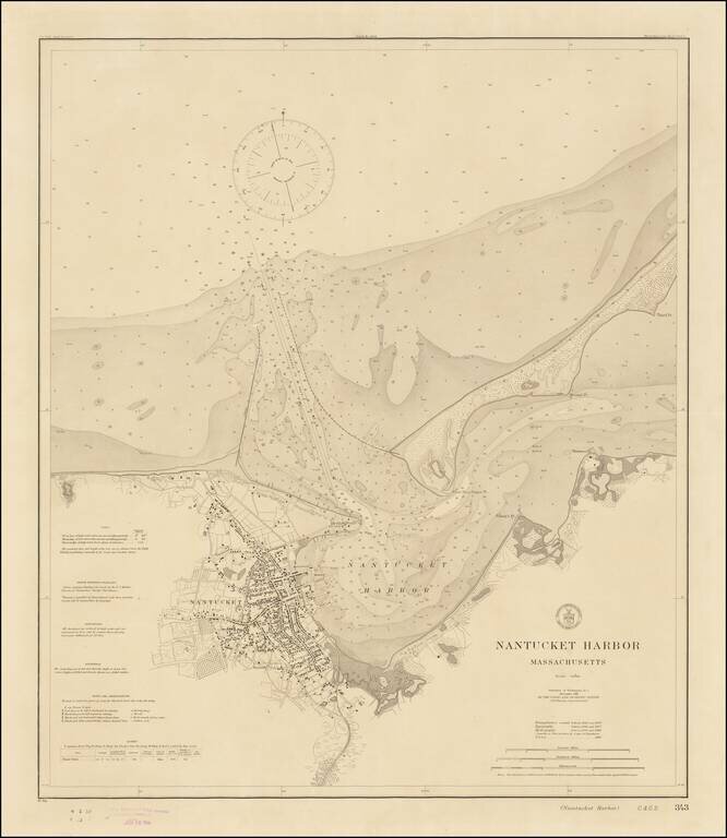
Rare Separately Published Harbor Chart of Nantucket -- Early Appearance of The Completed Jetties
Fine example of rare first state of this early 20th Century Chart of Nantucket, published by the United States Coast & Geodetic Survey.
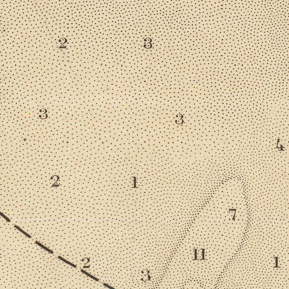
Perhaps the most detailed chart of the harbor published in the early 20th Century, the map is a wealth of information, including soundings, navigational instructions, details on the town of Nantucket and a clearly delineated charting of the dredged channel which provides the safe entrance to the harbor.
At the lower right, important dates in the surveying of the harbor are given, including:
Of note are the two jetties located at the entrance to the harbor, which were built between 1889 and 1911.
The map was published completed in the same year a the jetties were completed, although the dashed line indicates that at the time the chart was printed, construction on the jetties were likely not yet finished.
Rarity
OCLC lists nothing for this chart prior to two examples of an edition corrected to 1923 and another corrected to 1930.
Not in Crosby, Nantucket in Print, p. 224.
If you are a student, write to us in telegram: @antiquemaps and indicate what material you need and for what work you need a map in high detail. We are ready to provide material on special terms. For students only!