logo

1860. Mouth of Fall River Near Camp 20.

  • Mouth of Fall River Near Camp 20.

Mouth of Fall River Near Camp 20. information:

Year of creation: 
Resolution size (pixels): 
 2044x1490 px
Disk Size: 
 625966B
Number of pages: 
 1
Place: 
 Washington

Print information. Print size (Width x height in inches):
Printing at 72 dpi 
  28.39 х 20.69
Printing at 150 dpi 
 13.63 х 9.93
Printing at 300 dpi 
 6.81 х 4.97

An example of detailing the file of this map of in a printable high-resolution:

Click to open in high resolution (open in new tab).
Attention! this is just the central piece (central area 960x960 px) of the map file!
This is an example, so that you can see and study the level of detail of a given map. The entire Map will be fully available after payment!

Mouth of Fall River Near Camp 20.

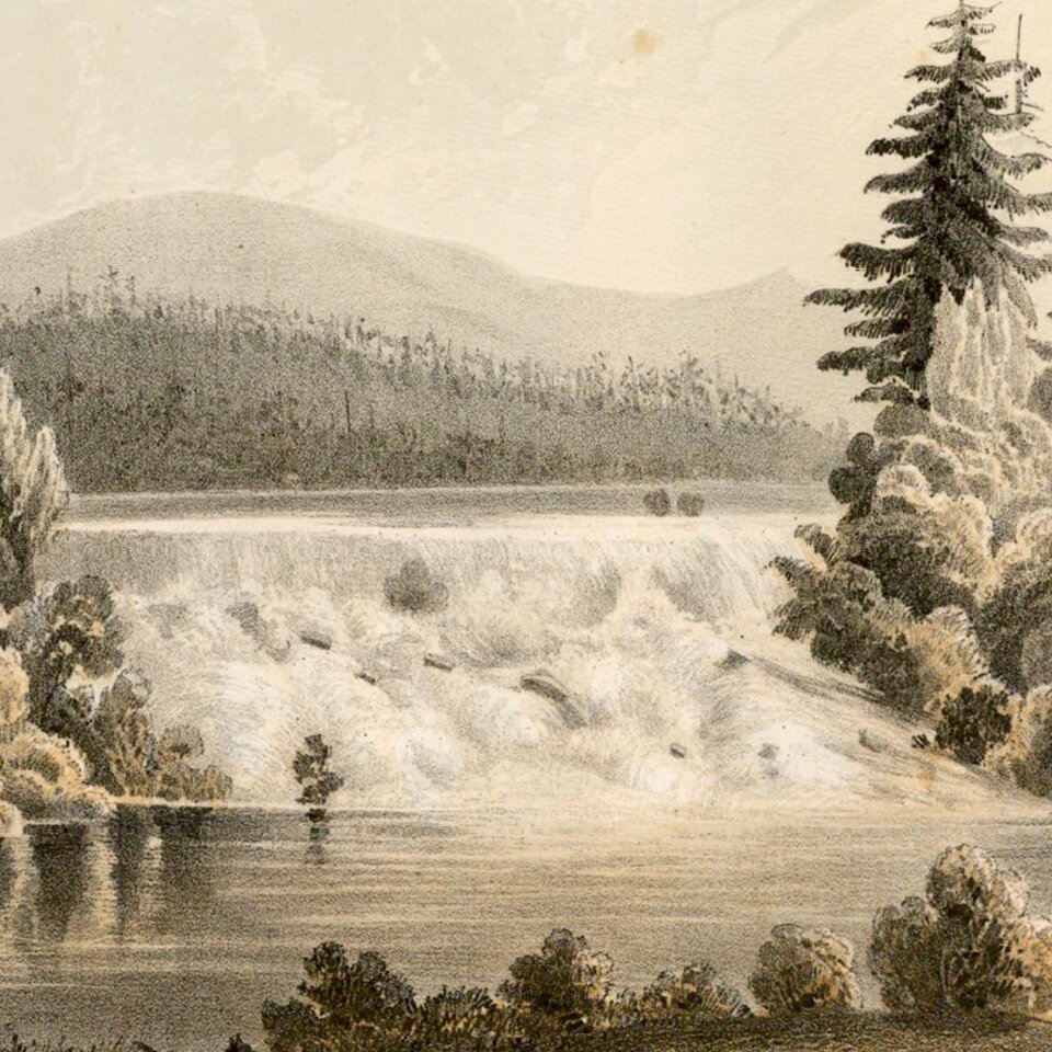
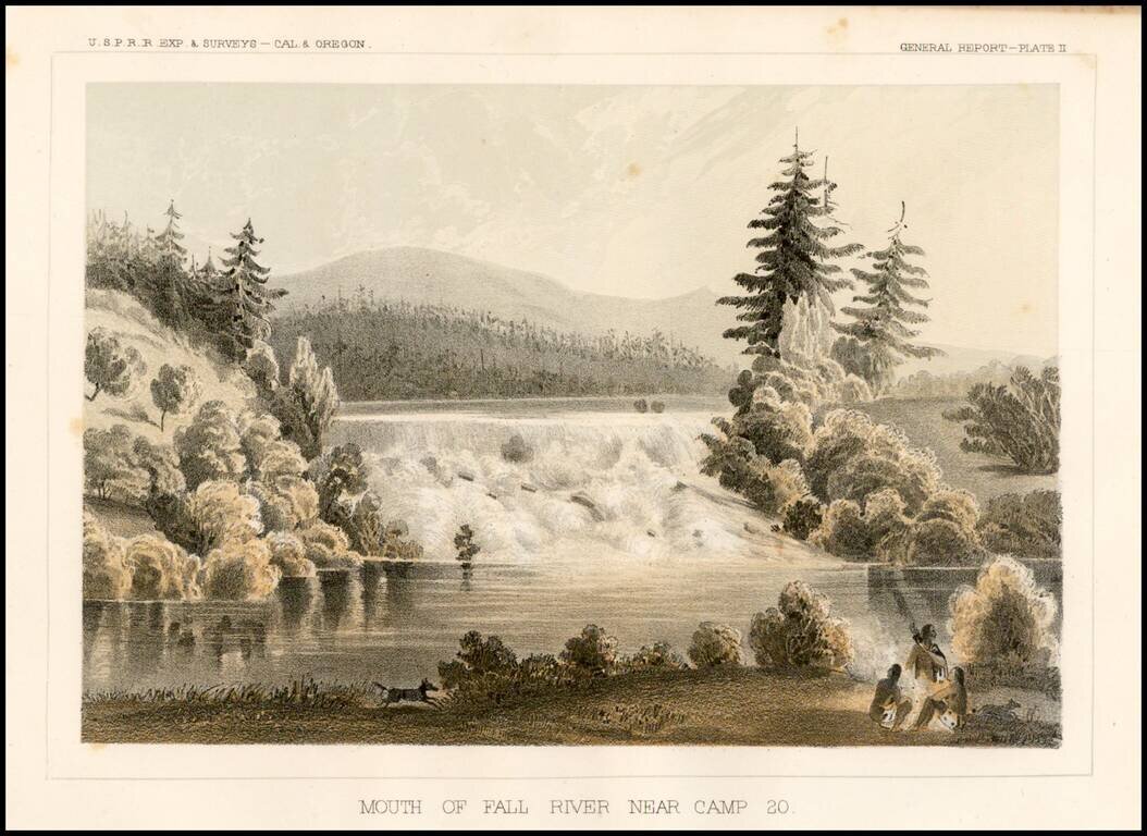
Striking view of Fall River near Camp 20, from the Pacific Railroad Surveys.


Special conditions for students!

If you are a student, write to us in telegram: @antiquemaps and indicate what material you need and for what work you need a map in high detail. We are ready to provide material on special terms. For students only!

Item information:

Year of creation:
Size:
2044x1490 px
Disk:
625966B
Number of pages:
1
Place:
Washington
Author:
U.S. Pacific RR Surveys.
$9.99

Related item