logo

1852. Mexico & Guatemala

  • Mexico & Guatemala

Map size in jpg-format: 19.0772MiB

Download "Mexico & Guatemala", in high resolution.

Mexico & Guatemala information:

Year of creation: 
Resolution size (pixels): 
 9742x7946 px
Disk Size: 
 19.0772MiB
Number of pages: 
 1
Place: 
 Philadelphia

Print information. Print size (Width x height in inches):
Printing at 72 dpi 
  135.31 х 110.36
Printing at 150 dpi 
 64.95 х 52.97
Printing at 300 dpi 
 32.47 х 26.49

An example of detailing the file of this map of in a printable high-resolution:

Click to open in high resolution (open in new tab).
Attention! this is just the central piece (central area 960x960 px) of the map file!
This is an example, so that you can see and study the level of detail of a given map. The entire Map will be fully available after payment!

Mexico & Guatemala

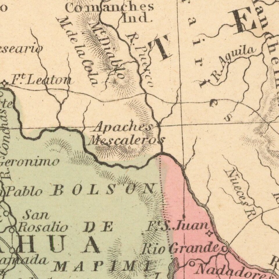
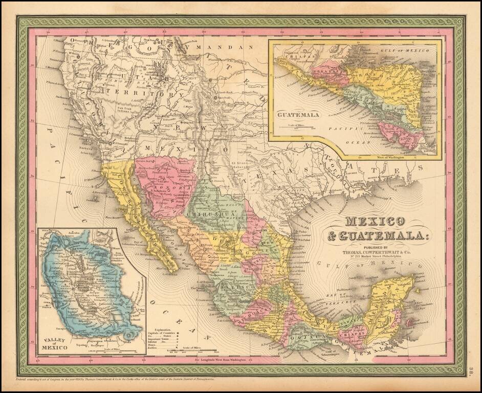
Detailed map of Mexico and the Southwest. Many of the early place names in Texas still appear. Pre-Gadsden Purchase border with Mexico.

Large insets of the Valley of Mexico, Isthmus of Tehuantepec, Isthmus of Nicaragua and Guatemala.


Special conditions for students!

If you are a student, write to us in telegram: @antiquemaps and indicate what material you need and for what work you need a map in high detail. We are ready to provide material on special terms. For students only!

Item information:

Year of creation:
Size:
9742x7946 px
Disk:
19.0772MiB
Number of pages:
1
Place:
Philadelphia
Author:
Thomas, Cowperthwait & Co..
$14.99

Related item