Map size in jpg-format: 1535600B
Click to open in high resolution (open in new tab).
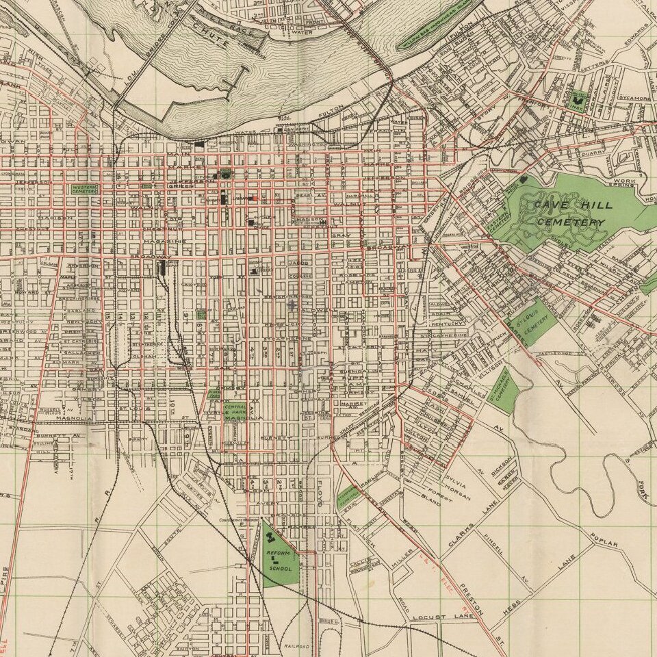
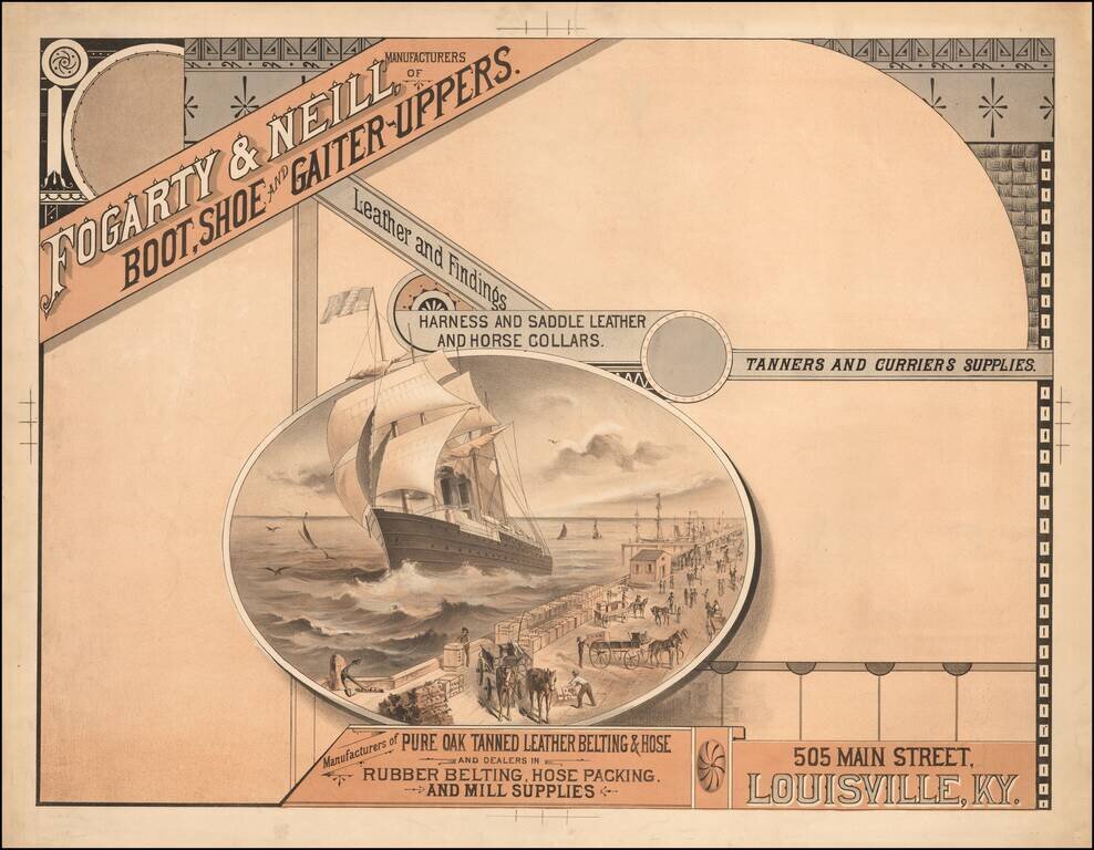
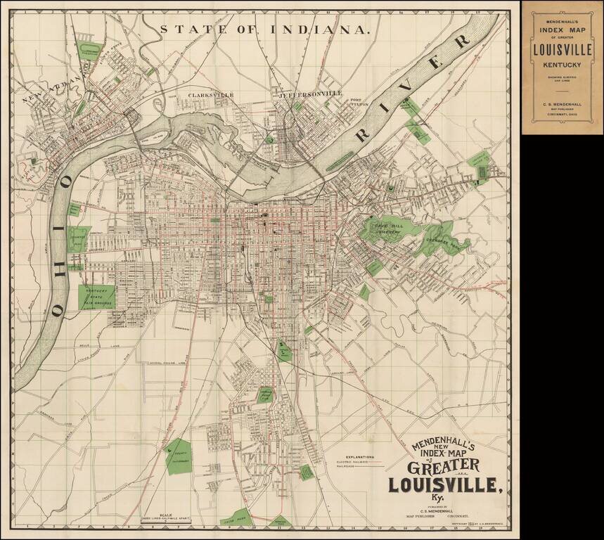
Scarce early map of the city of Louisville, published by C.S. Mendenhall.
The map extends north to include Clarkesville, Jeffersonville and New Albany. The map identifies streets, major buildings, wharfs, and a number of land owners on the outskirts of town. Three bridges across the Ohio are shown.
At the bottom center of the map, the Louisville Jockey Club and Mile Track are shown, which would later become known as Churchill Downs.
If you are a student, write to us in telegram: @antiquemaps and indicate what material you need and for what work you need a map in high detail. We are ready to provide material on special terms. For students only!