Map size in jpg-format: 23.0076MiB
Click to open in high resolution (open in new tab).
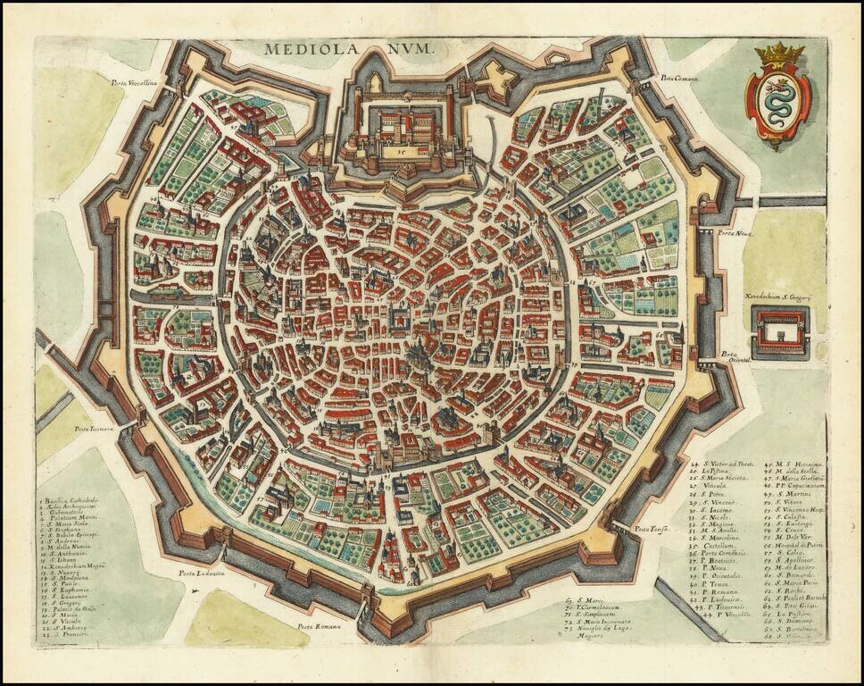
A detailed town plan of Milan, showing the fortified walls, city gates, inner ring and important public buildings, squares, and much more. A key names seventy three places of interest. The coat of arms of the Visconti, once rulers of the city, is shown in the upper right.
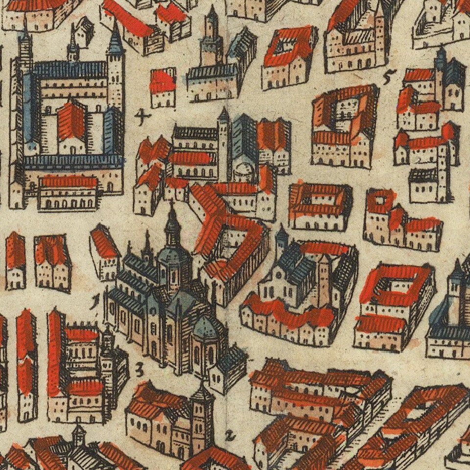
The map is oriented to the northwest, allowing for the symmetry of the city to be readily apparent. In the center top of the image, labeled "Castellum," lies the Sforzesco Castle, at the time surrounded by its own lake. The moat surrounding the center of the city has been replaced by a ring road while the outer moat has one last vestige in the Conchetta district, but now mostly lies underground. Other structures and monuments of Milan from the present day are recognizable in the map, with a "Basilica catedralis" appearing to signify the Duomo.
This map was published at a critical point in Milan's history. Half a decade prior, one of the last pandemics of the Black Death raged through the city, killing nearly half of the city's population. This plague is commemorated in the great Italian work, The Betrothed.
This is a fine full-color example of Merian's map of Milan.
Mathaus Merian (1593-1650) was the father of engraver Matthäus the Younger, and of the painter, engraver, and naturalist Maria Sibylla Merian. He was born in Basel, Switzerland and trained in engraving in Zurich. After a time in Nancy, Paris and Strasbourg, he settled in Frankfurt. While there, he worked for Johann Theodor de Bry, the publisher and son of the travel writer. In 1617, he married Maria Magdalena de Bry, Johann Theodor’s daughter. In 1623, Merian took over the de Bry publishing house upon the death of his father-in-law. Merian’s best known works are detailed town views which, due to their accuracy and artistry, form a valuable record of European urban life in the first half of the sixteenth century
If you are a student, write to us in telegram: @antiquemaps and indicate what material you need and for what work you need a map in high detail. We are ready to provide material on special terms. For students only!


