Map size in jpg-format: 3.25814MiB
Click to open in high resolution (open in new tab).
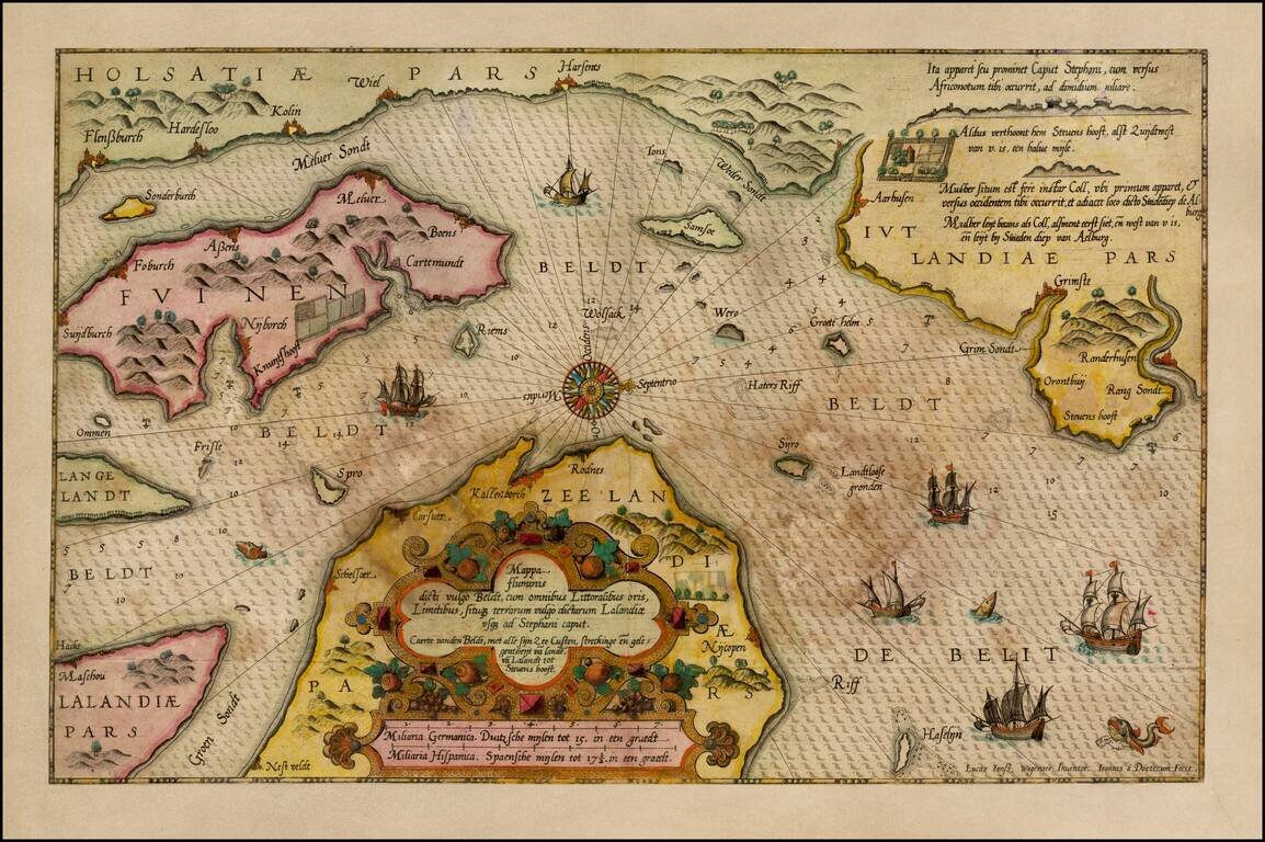
Old Color, gold heightened example of Waghenaer's sea chart showing a significant part of the coastline of Denmark.
The chart includes the modern cities of Randers, Kalundborg, Korsor, Aarhus, Horsens, Vejle, Kolin, Haderslev, Sonderborg, Nordborg, Flensburg, Murwick, Skaelskor, Nykobing and Gjerlev.
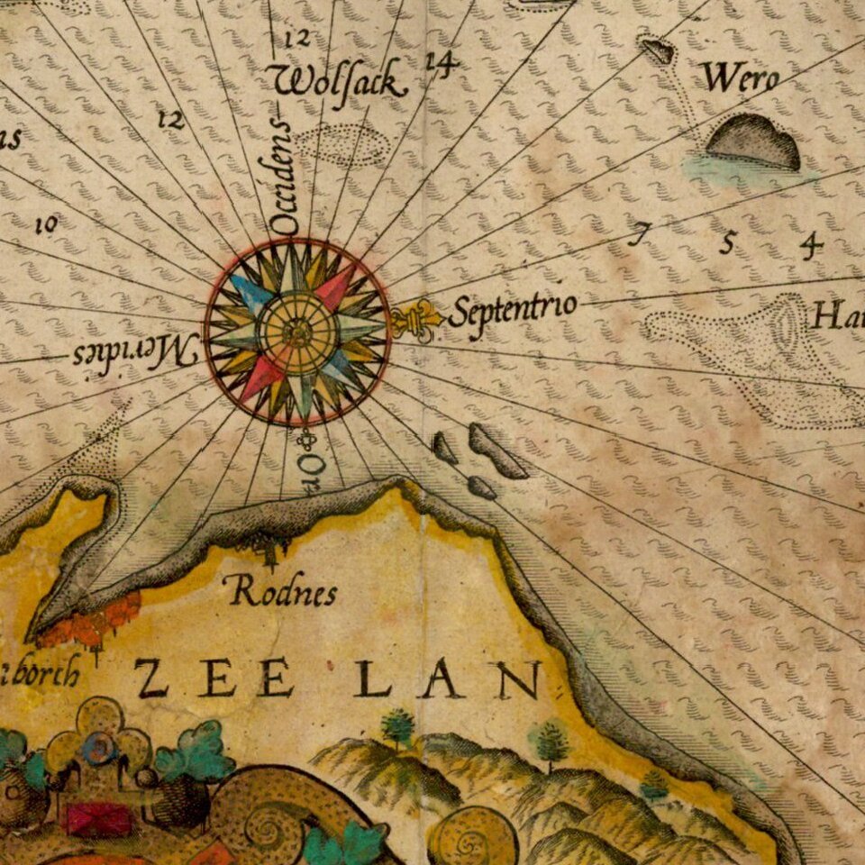
The chart is richly embellished with compass roses, sea monsters, sailing ships and rhumb lines. The map appeared in Waghenaer's Speigel der Zeevaerdt.
Waghenaer's Spiegel was the first engraved sea atlas. The present example bears the Van Deutecum signature as engraver.
If you are a student, write to us in telegram: @antiquemaps and indicate what material you need and for what work you need a map in high detail. We are ready to provide material on special terms. For students only!


