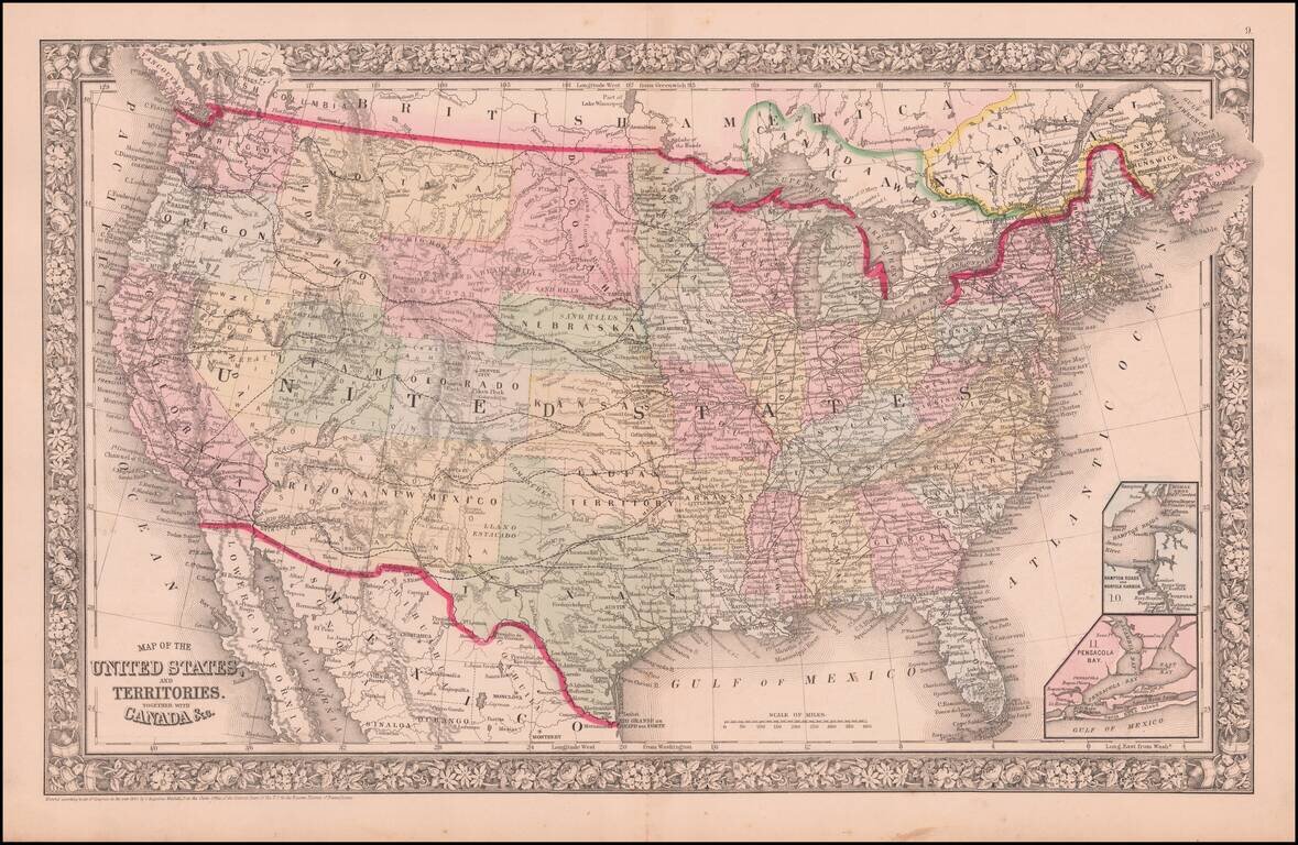
logo

1855. Maple River (South Dakota)

  • Maple River (South Dakota)

Maple River (South Dakota) information:

Year of creation: 
Resolution size (pixels): 
 2106x1491 px
Disk Size: 
 650180B
Number of pages: 
 1
Place: 
 Washington

Print information. Print size (Width x height in inches):
Printing at 72 dpi 
  29.25 х 20.71
Printing at 150 dpi 
 14.04 х 9.94
Printing at 300 dpi 
 7.02 х 4.97

An example of detailing the file of this map of in a printable high-resolution:

Click to open in high resolution (open in new tab).
Attention! this is just the central piece (central area 960x960 px) of the map file!
This is an example, so that you can see and study the level of detail of a given map. The entire Map will be fully available after payment!

Maple River (South Dakota)

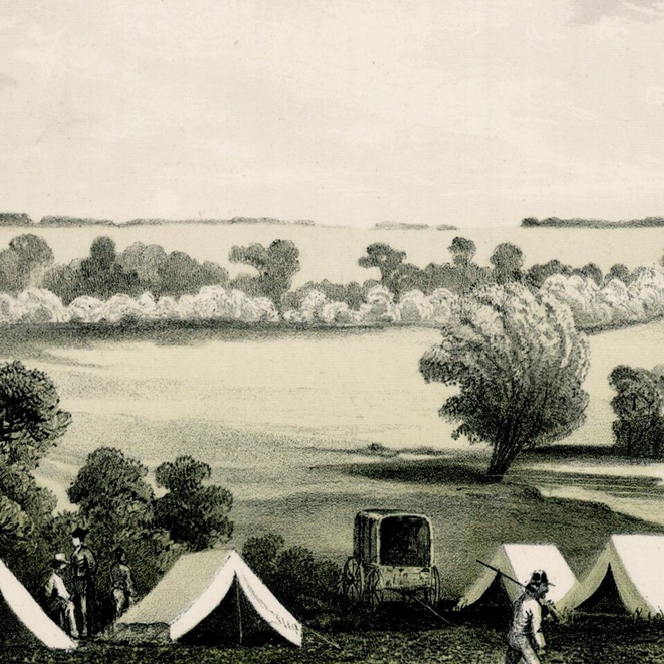
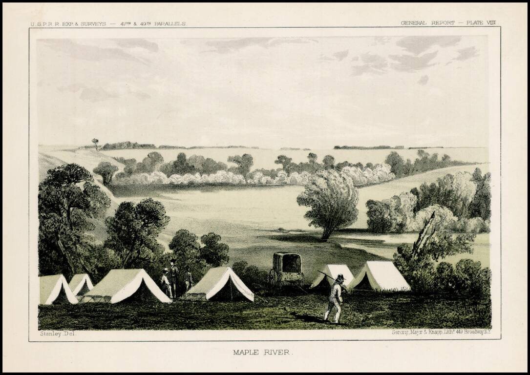
Fascinating view of an encampment on the Maple River in South Dakota, prepared as part of the United States survey for the most practicable route for a railroad line to the West Coast of America, conducted just prior to the Civil War.

A scenic view as seen by the artist, John Mix Stanley, in 1853, The camp on the Maple River where members of the United States Pacific Railroad party celebrated the Fourth of July in 1853 . Isaac Steverns reports in his Narrative, "After dusk we raised the American flag."


Special conditions for students!

If you are a student, write to us in telegram: @antiquemaps and indicate what material you need and for what work you need a map in high detail. We are ready to provide material on special terms. For students only!

Item information:

Year of creation:
Size:
2106x1491 px
Disk:
650180B
Number of pages:
1
Place:
Washington
Author:
U.S. Pacific RR Survey.
$9.99

Related item