Map size in jpg-format: 72.9899MiB
Click to open in high resolution (open in new tab).
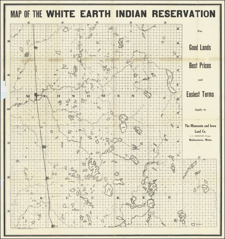
The Continued Dispossession of Native Americans in 20th-Century Minnesota.
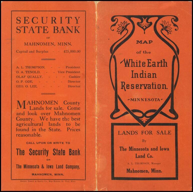
Interesting map of the White Earth Indian Reservation in northwestern Minnesota, printed for the Minnesota and Iowa Land Co. to promote the sale of "surplus" reservation land to non-Indians.
Although it might be strange to some to see a land company offering land for sale within a reservation, the Wikipedia entry on the White Earth Indian Reservation explains how this came to be:
The reservation originally covered 1,300 square miles (3,400 km²). Much of the community's land was improperly sold or seized by outside interests, including the U.S. federal government, in the late 19th century and early 20th century. According to the Dawes Act of 1887, the communal land was to be allotted to individual households recorded in tribal rolls, for cultivation in subsistence farming. Under the act, the remainder was declared surplus and available for sale to non-Native Americans. The Nelson Act of 1889 was a corollary law that enabled the land to be divided and sold to non-Natives. In the latter half of the 20th century, the federal government arranged for the transfer of state and county land to the reservation in compensation for other property that had been lost.
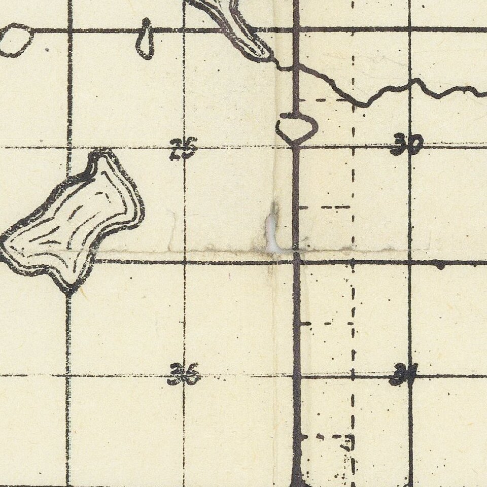
The map shows various communities, including Mahnomen, and, off the railway line, White Earth. It shows Elbow Lake the Lake, but no so-named town is yet shown there.
The map is very rare, and we locate only one example, at the Minnesota Historical Society Library.
If you are a student, write to us in telegram: @antiquemaps and indicate what material you need and for what work you need a map in high detail. We are ready to provide material on special terms. For students only!