Map size in jpg-format: 4.44785MiB
Click to open in high resolution (open in new tab).
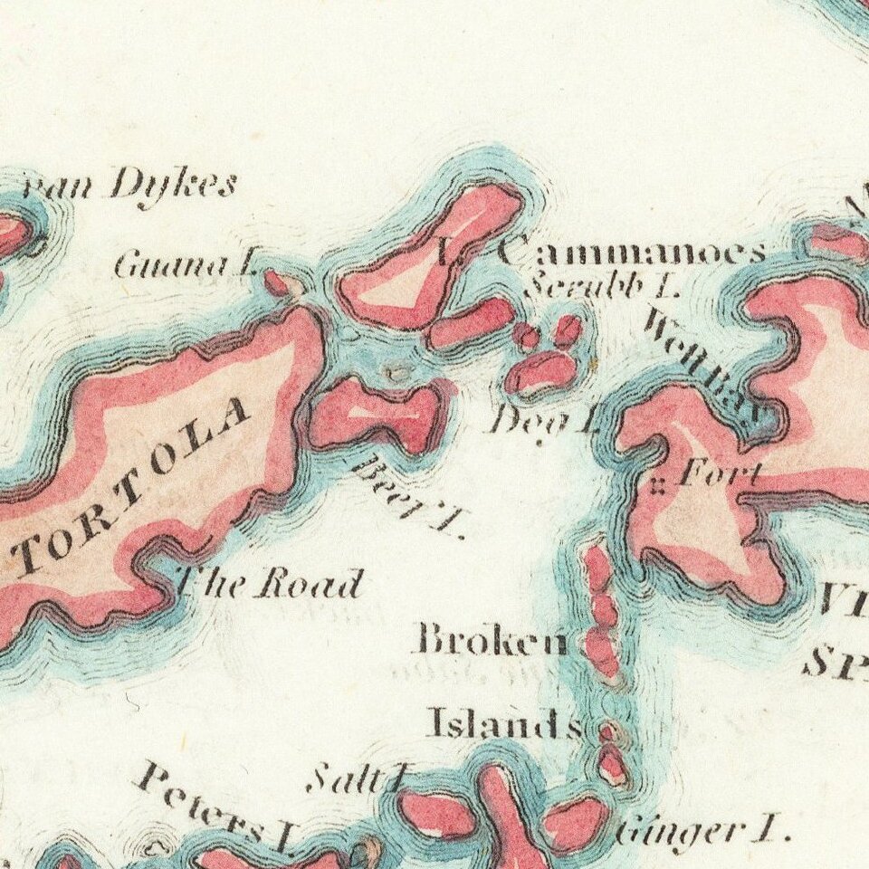
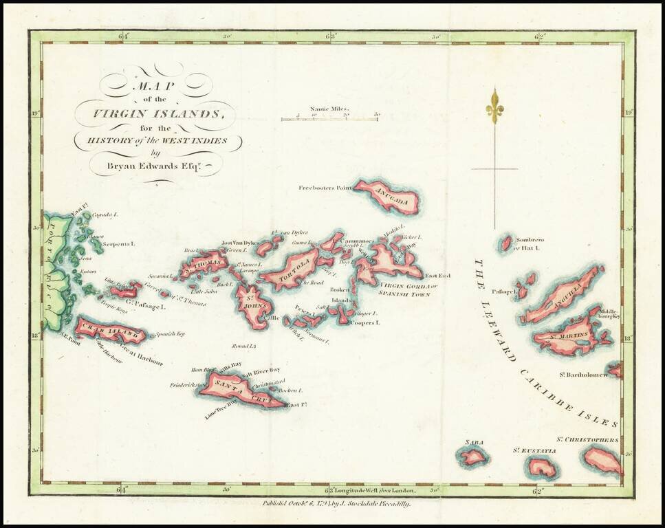
18th Century Map of the Virgin Islands
Detailed map of the Virgin Islands, published in London by Brian Edwards.
Extends from the east coast of Puerto Rico to St. Barts, centered on Tortola, St. Johns, Saint Croix and Virgin Gorda.
There are very few 18th Century maps covering the Virgin Islands.
If you are a student, write to us in telegram: @antiquemaps and indicate what material you need and for what work you need a map in high detail. We are ready to provide material on special terms. For students only!
![Carte Reduite des Isles Antilles Dressee au Depost des Cartes et Plans de la Marine… [Large Inset of Virgin Islands]](/map/small/68206.jpg)
![Amer. Sep. No. 69. Porto-Rico [and the Virgin Islands]](/map/small/42102.jpg)