logo

1828. Map Of The United States And Canada Shewing Captn. Hall's Route through those Countries in 1827 & 1828

  • Map Of The United States And Canada Shewing Captn. Hall's Route through those Countries in 1827 & 1828

Map Of The United States And Canada Shewing Captn. Hall's Route through those Countries in 1827 & 1828 information:

Year of creation: 
Resolution size (pixels): 
 7016x8025 px
Disk Size: 
 13.6777MiB
Number of pages: 
 1
Place: 
 Edinburgh
Author: 

Print information. Print size (Width x height in inches):
Printing at 72 dpi 
  97.44 х 111.46
Printing at 150 dpi 
 46.77 х 53.5
Printing at 300 dpi 
 23.39 х 26.75

An example of detailing the file of this map of in a printable high-resolution:

Click to open in high resolution (open in new tab).
Attention! this is just the central piece (central area 960x960 px) of the map file!
This is an example, so that you can see and study the level of detail of a given map. The entire Map will be fully available after payment!

Map Of The United States And Canada Shewing Captn. Hall's Route through those Countries in 1827 & 1828

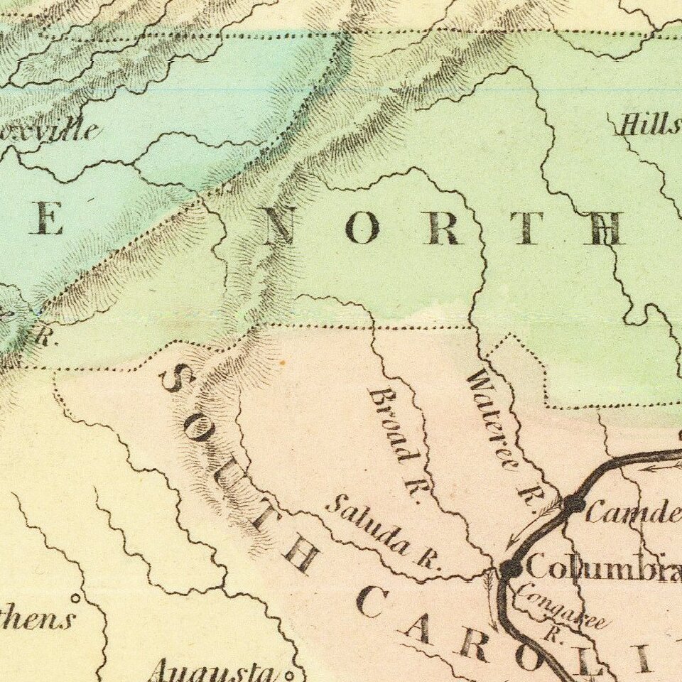
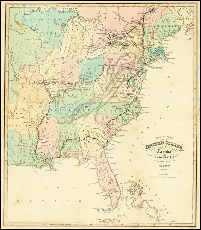
Attractive and detailed map of the United States, colored by states.

Shows towns, islands, rivers, mountain ranges, great lakes, etc.

Detailed record of Hall's route in bold print.


Special conditions for students!

If you are a student, write to us in telegram: @antiquemaps and indicate what material you need and for what work you need a map in high detail. We are ready to provide material on special terms. For students only!

Item information:

Year of creation:
Size:
7016x8025 px
Disk:
13.6777MiB
Number of pages:
1
Place:
Edinburgh
Author:
William Home Lizars.
$14.99

Related item