Map size in jpg-format: 32.409MiB
Click to open in high resolution (open in new tab).
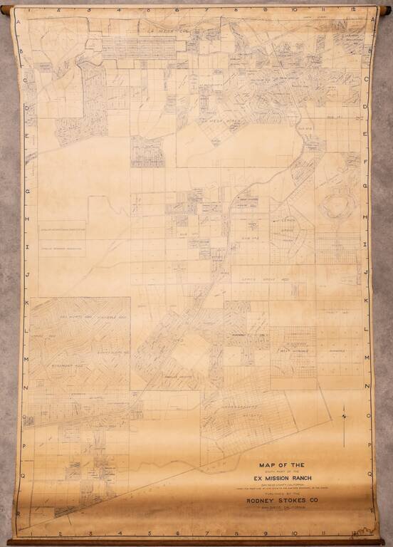
Large wall map of eastern San Diego, showing parts of Lemon Grove and La Mesa.
In the west, the map is bounded by Lake Chollas, and the Chollas Heights Naval Radio Station, which is now military housing.
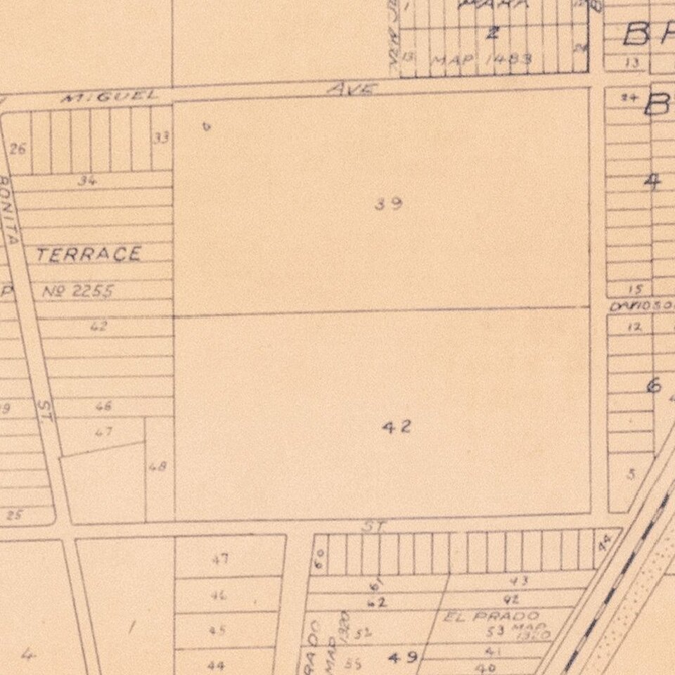
There is plot level detail in the areas that had been subdivided when the map was made, though much of the area was still undeveloped when this map was made.
This map was probably originally made around 1925, though this example might be an update from the 1940s.
If you are a student, write to us in telegram: @antiquemaps and indicate what material you need and for what work you need a map in high detail. We are ready to provide material on special terms. For students only!
![(California-Mexico Border Survey) Datos de los trabajos astronómicos y topográficos. [bound with:] Variedades de la civilizacion, nueva epoca (Tomo I)](/map/small/70777.jpg)