logo

1942. Map of the Minnesota Arrowhead Country and Adjacent Canadian Cities In the Greater Arrowhead

  • Map of the Minnesota Arrowhead Country and Adjacent Canadian Cities In the Greater Arrowhead
  • Map of the Minnesota Arrowhead Country and Adjacent Canadian Cities In the Greater Arrowhead
  • Map of the Minnesota Arrowhead Country and Adjacent Canadian Cities In the Greater Arrowhead

Map of the Minnesota Arrowhead Country and Adjacent Canadian Cities In the Greater Arrowhead information:

Year of creation: 
Resolution size (pixels): 
 21793x14537 px
Disk Size: 
 110.699MiB
Number of pages: 
 3
Place: 
 Duluth

Print information. Print size (Width x height in inches):
Printing at 72 dpi 
  302.68 х 201.9
Printing at 150 dpi 
 145.29 х 96.91
Printing at 300 dpi 
 72.64 х 48.46

An example of detailing the file of this map of in a printable high-resolution:

Click to open in high resolution (open in new tab).
Attention! this is just the central piece (central area 960x960 px) of the map file!
This is an example, so that you can see and study the level of detail of a given map. The entire Map will be fully available after payment!

Map of the Minnesota Arrowhead Country and Adjacent Canadian Cities In the Greater Arrowhead

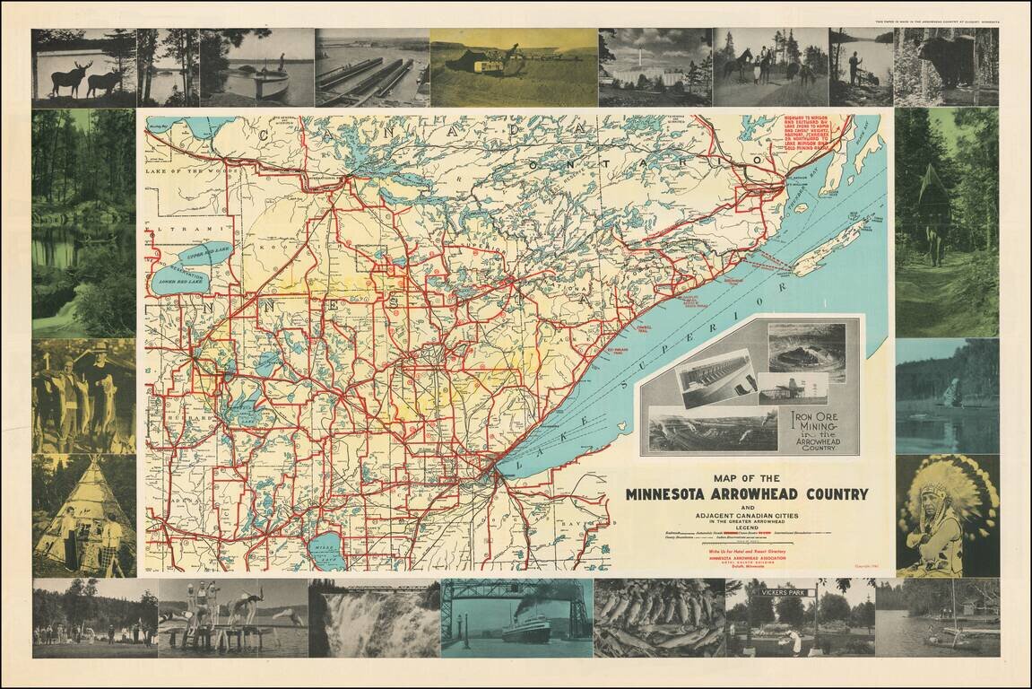
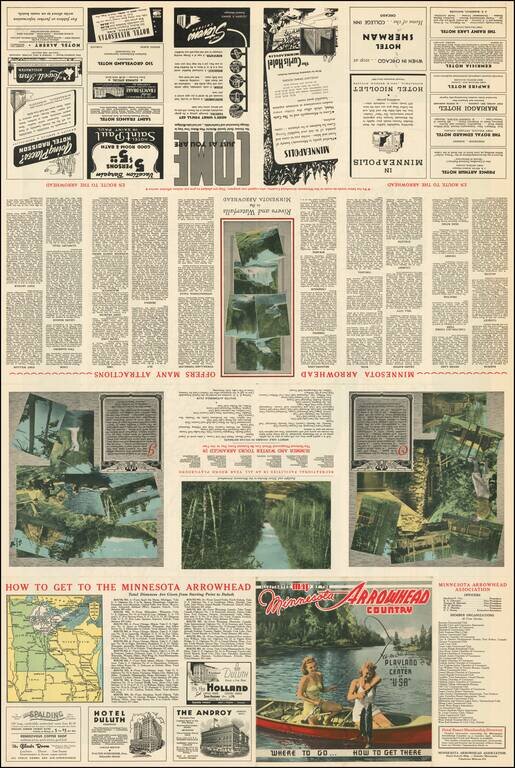
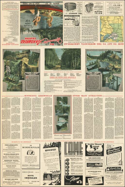
Attractive pictorial map of Minnesota's Arrowhead Region with numerous carte-a-figure photographs of local tourist attractions, wildlife, Native Americans, etc.

The map includes inset photos of Iron Ore mining operations in northeast Minnesota.

The map was issued in Duluth to promote tourism to the region.


Special conditions for students!

If you are a student, write to us in telegram: @antiquemaps and indicate what material you need and for what work you need a map in high detail. We are ready to provide material on special terms. For students only!

Item information:

Year of creation:
Size:
21793x14537 px
Disk:
110.699MiB
Number of pages:
3
Place:
Duluth
Author:
Minnesota Arrowhead Association.
$21.99

Related item