Map size in jpg-format: 192.092MiB
Click to open in high resolution (open in new tab).
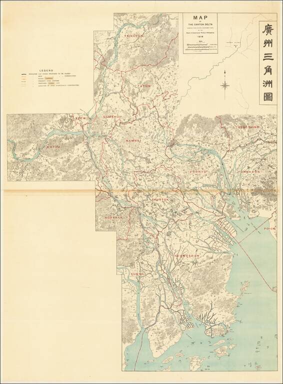
Controlling the Rivers Feeding the Canton Delta and Zhujiang Estuary
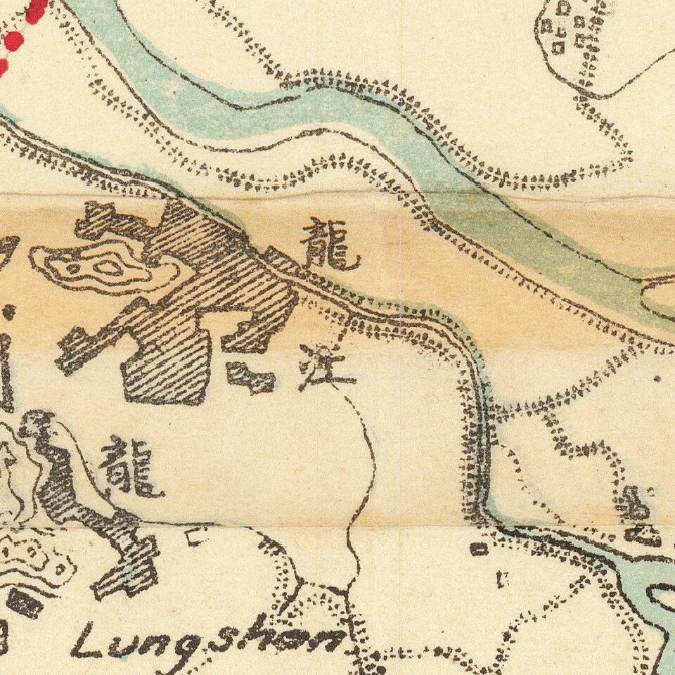
Large detailed bilingual wall map tracking the course of the Canton Delta, and the Xi River and Bei River, Zhujiang River and Estuary and the area around Guangzhou and Foshan.
The map illustrates:
The following districts are shown: Koyiu, Szewui, Samshui, Tsincyun, Fayun, Namhoi, Poonyu, Tsengshing, Tungkoon, Shuntuk, Hokshan, Sunwui, Heungshan, and Po-on.
Board of Conservancy Works of Kwangtung
The Board of Conservancy was created to address the problems caused by the severe flooding of the Canton Delta in 1914 and 1915.
The Board was initially directed by Captain Olivecrona, Engineer in Chief, which included improvements of the West River and the Port of Canton.
Rarity
The map is very rare; we have found two copies on OCLC (Paris-CECMC and UC Berkeley) and one example online (Toyo Bunko Library, Tokyo).
If you are a student, write to us in telegram: @antiquemaps and indicate what material you need and for what work you need a map in high detail. We are ready to provide material on special terms. For students only!
![[Martin Behaim Globe / Book] Pars Globi terrestris Ao. 1492 a Martino Behaim Equite Lusitano Norimbergae confecti Delineavit Christoph. Theoph de Murr 1778 (bound with:) Diplomatische Geschichte des Portugesischen berühmten Ritters Martin Behaims](/map/small/68828.jpg)
![Il Disegno Della Terza Parte Dell' Asia [Gastaldi's Wall Map of SE Asia with extra panels!]](/map/small/30554hbp.jpg)
![Chinae, olim Sinarum regionis nova descriptio. auctore Ludouico Georgio. [English Edition!]](/map/small/71123.jpg)