Map size in jpg-format: 36.0716MiB
Click to open in high resolution (open in new tab).
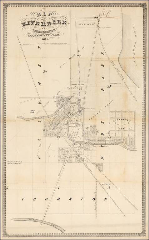
Early Promotional Map for Riverdale, Illinois -- One Year After Its First Post Office Was Established
An exceptionally rare 1874 survey map of Riverdale, Illinois, a suburb of Chicago.
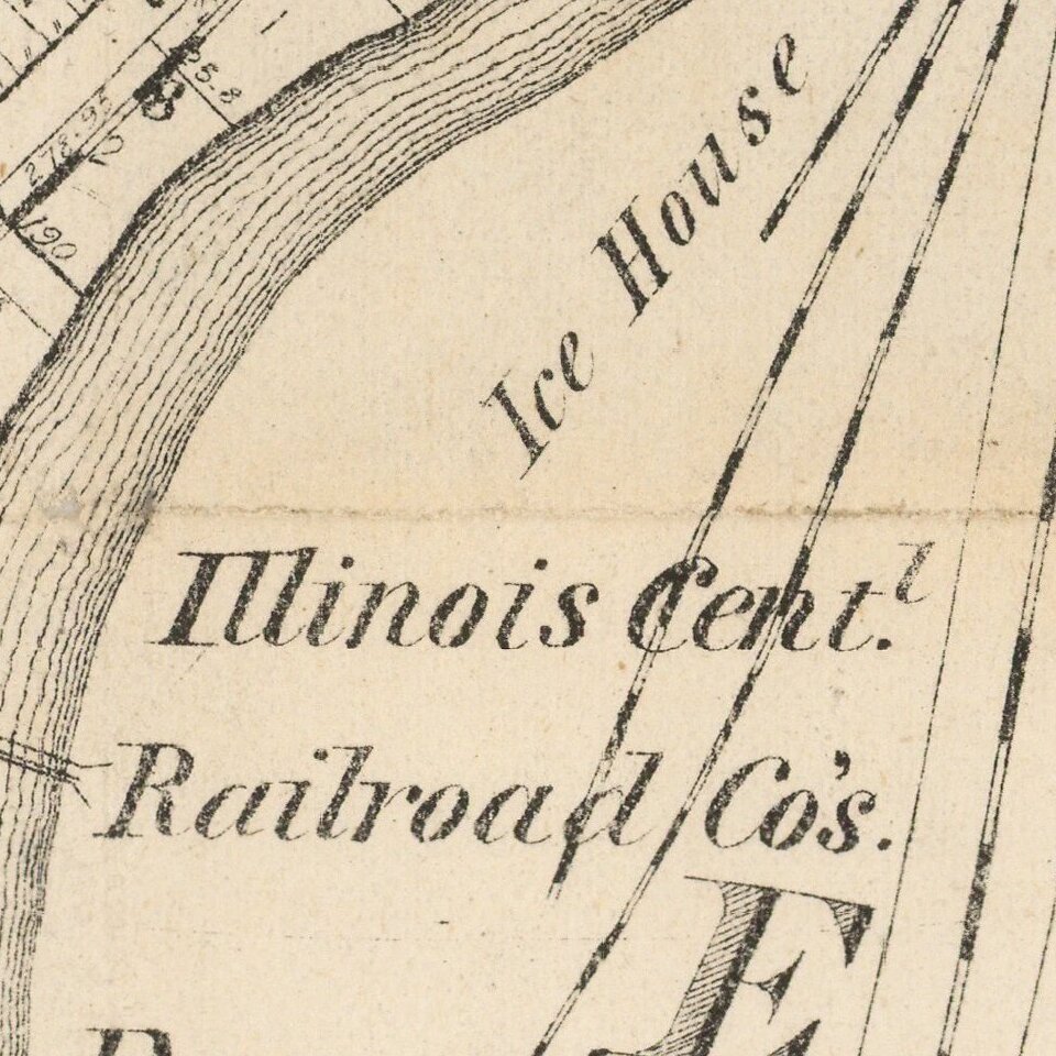
The map is centered on a bend in the Little Calumet River just east of the modern day limits of Riverdale, including the lavish Wildwood estate of the industrialist James H. Bowen. The peninsula created by the bend in the river was at the time subdivided and called "Lockwoods Riverdale" and portioned out into lots, complete with a commuter rail service, but the subdivision as apparently never realized. Other developments, to the east and north of the river, did in fact develop into residential districts including Eden Green and Altgeld Gardens, but the street grid bears little resembles to the suggested layout here. The map extends north as far as Pullman and Kensington Station where a new road, possibly East 115th Street, has been added in manuscript.
This survey was produced by R. W. Dobson, surveyor and lithographer who maintained offices in the Republic Life Insurance Building (Old Republic Building), Chicago. The map appears to have been folded into a report, but cannot confirm this as we have found no other records of this map in any collection public or private.
Riverdale
George Dolton first settled in area in 1835, creating a homestead near a local Potawatomi Indian reservation . One year later, J.C. Matthews settled near Dolton. In 1836, the County government granted a river ferry license to Dolton and Matthews. The pair built a toll ferry that crossed the Calumet River at a place known as "Riverdale Crossing". In 1837, David Perriam claimed land north of the horseshoe bend in the Calumet River in an area referred to as Wildwood. Another early resident, George Dolton, settled near the Calumet River by the Chicago-Thornton Road (today's Indiana Avenue). He operated a chain ferry across the river. Levi Osterhoudt operated a tavern/road house at 133rd and Thornton Road from 1840 in the area which became known as the Riverdale Crossing. In 1842, Dolton and Osterhoudt replaced the ferry with a toll bridge and called it the "Dolton Bridge.
In 1867 Riverdale formed its own school district, although schooling had been available since the early years. In 1873 Riverdale founded its own post office. 1878 saw the founding of Riverdale's first major industries; the distillery and the lumber yard, located on the Calumet River near what is now Indiana Avenue. Other industries soon followed such as the ice houses, cattle fattening pens, planing mills and even a cooperage. At the cooperage, metal barrel hoops were fastened to wooden staves to make corn, beef, and pickling barrels for the stock yards.
The area would be annexed by Chicago in 1889.
Rarity
The map is exceedingly rare. We note no other surviving examples.
If you are a student, write to us in telegram: @antiquemaps and indicate what material you need and for what work you need a map in high detail. We are ready to provide material on special terms. For students only!