logo

1853. Map of Profile of the Cañada de las Uvas; from Explorations and Surveys . . . 1853

  • Map of Profile of the Cañada de las Uvas; from Explorations and Surveys . . . 1853

Map of Profile of the Cañada de las Uvas; from Explorations and Surveys . . . 1853 information:

Year of creation: 
Resolution size (pixels): 
 2457x1814 px
Disk Size: 
 653534B
Number of pages: 
 1
Place: 
 Washington

Print information. Print size (Width x height in inches):
Printing at 72 dpi 
  34.13 х 25.19
Printing at 150 dpi 
 16.38 х 12.09
Printing at 300 dpi 
 8.19 х 6.05

An example of detailing the file of this map of in a printable high-resolution:

Click to open in high resolution (open in new tab).
Attention! this is just the central piece (central area 960x960 px) of the map file!
This is an example, so that you can see and study the level of detail of a given map. The entire Map will be fully available after payment!

Map of Profile of the Cañada de las Uvas; from Explorations and Surveys . . . 1853

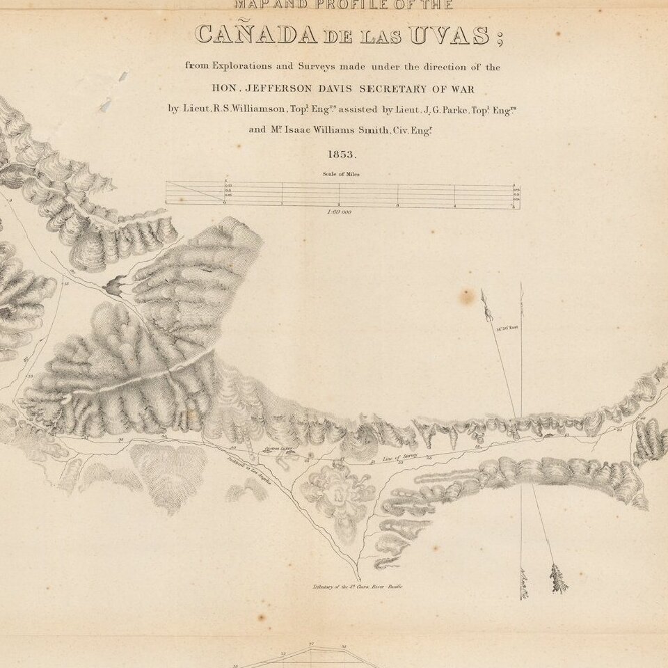
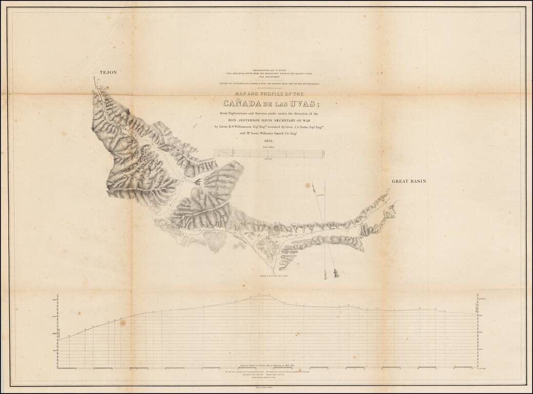
Detailed map of the region near Fort Tejon and the Tejon Pass, in Northern Los Angeles County.


Special conditions for students!

If you are a student, write to us in telegram: @antiquemaps and indicate what material you need and for what work you need a map in high detail. We are ready to provide material on special terms. For students only!

Item information:

Year of creation:
Size:
2457x1814 px
Disk:
653534B
Number of pages:
1
Place:
Washington
Author:
U.S. Pacific RR Survey.
$9.99

Related item