logo

1926. Map of Princeton, N.J. and Vicinity Made For Wm. L. Ulyat, Realtor. . . . 1926

  • Map of Princeton, N.J. and Vicinity Made For Wm. L. Ulyat, Realtor. . . . 1926

Map of Princeton, N.J. and Vicinity Made For Wm. L. Ulyat, Realtor. . . . 1926 information:

Year of creation: 
Resolution size (pixels): 
 19672x14633 px
Disk Size: 
 40.9557MiB
Number of pages: 
 1
Place: 
 Princeton, NJ

Print information. Print size (Width x height in inches):
Printing at 72 dpi 
  273.22 х 203.24
Printing at 150 dpi 
 131.15 х 97.55
Printing at 300 dpi 
 65.57 х 48.78

An example of detailing the file of this map of in a printable high-resolution:

Click to open in high resolution (open in new tab).
Attention! this is just the central piece (central area 960x960 px) of the map file!
This is an example, so that you can see and study the level of detail of a given map. The entire Map will be fully available after payment!

Map of Princeton, N.J. and Vicinity Made For Wm. L. Ulyat, Realtor. . . . 1926

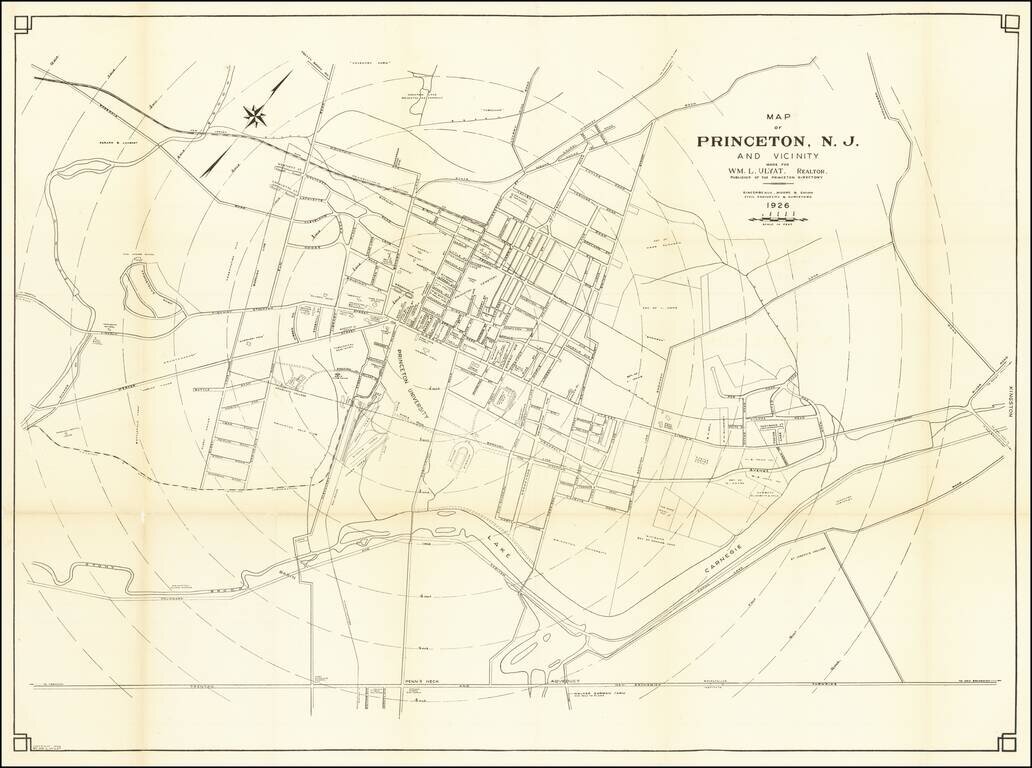
Rare map of Princeton, published in 1926.

The map is oriented with Northwest at the top, with concentric circles radiating out from the center of town in 1/4 miles increments.

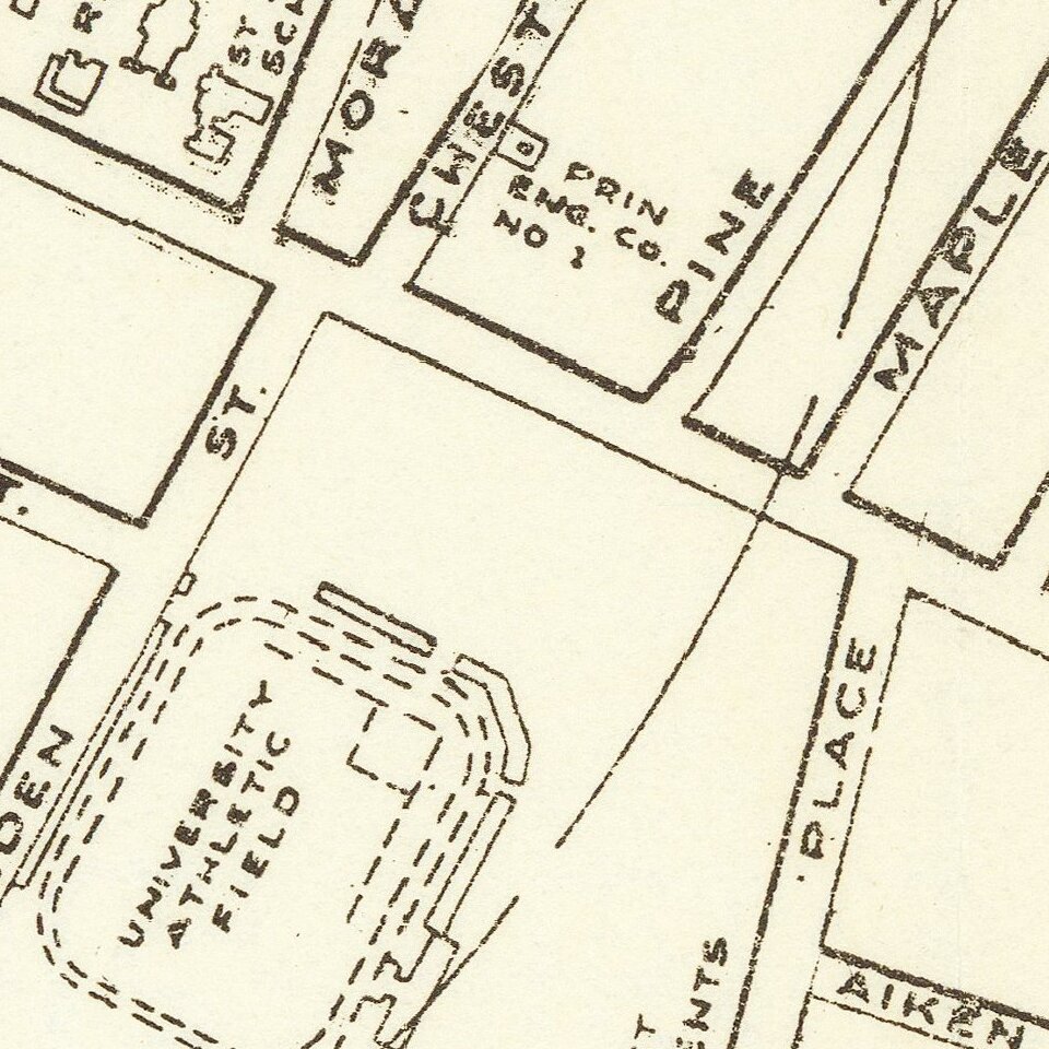
Princeton and many other landmarks located.


Special conditions for students!

If you are a student, write to us in telegram: @antiquemaps and indicate what material you need and for what work you need a map in high detail. We are ready to provide material on special terms. For students only!
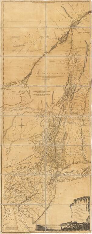
Item information:

Year of creation:
Size:
19672x14633 px
Disk:
40.9557MiB
Number of pages:
1
Place:
Princeton, NJ
Author:
Charles L. Sincerbeaux.
$14.99

Related item