Map size in jpg-format: 30.7975MiB
Click to open in high resolution (open in new tab).
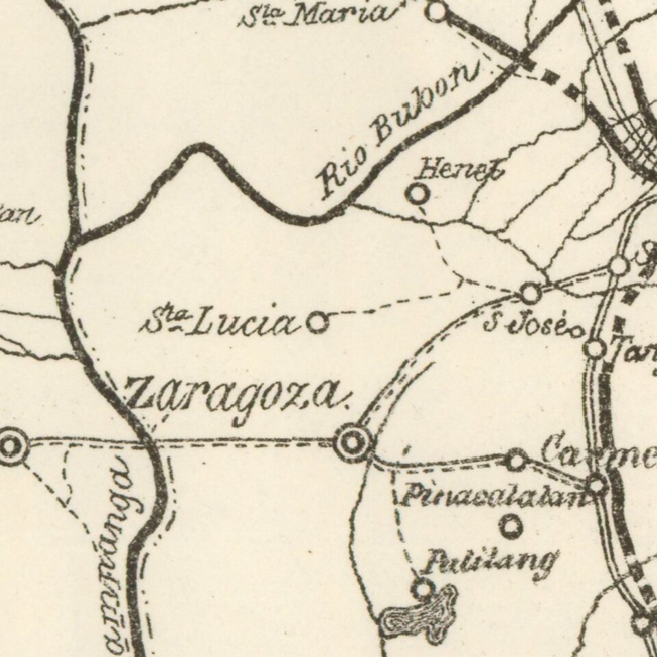
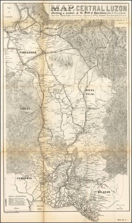
Rare military map showing part of the Island of Luzon, issued at the height of the Philippine-American War, compiled by William L. Sibert of the 8th Army Engineering Corp.
The map covers central Luzon, from Manila Bay to Lingayen Gulf. The map shows the lines of operations for Major General H.W. Lawton, Major General A. Mac ARthur and Brigadier General L Wheaton.
During the early stages of the Philippine-American War, this area was largely controlled by Philippine forces and was the most active theater.
If you are a student, write to us in telegram: @antiquemaps and indicate what material you need and for what work you need a map in high detail. We are ready to provide material on special terms. For students only!
![[Martin Behaim Globe / Book] Pars Globi terrestris Ao. 1492 a Martino Behaim Equite Lusitano Norimbergae confecti Delineavit Christoph. Theoph de Murr 1778 (bound with:) Diplomatische Geschichte des Portugesischen berühmten Ritters Martin Behaims](/map/small/68828.jpg)
![Il Disegno Della Terza Parte Dell' Asia [Gastaldi's Wall Map of SE Asia with extra panels!]](/map/small/30554hbp.jpg)
![Chinae, olim Sinarum regionis nova descriptio. auctore Ludouico Georgio. [English Edition!]](/map/small/71123.jpg)