logo

1976. Map of Amish Farmland: Lancaster County, Pennsylvania.

  • Map of Amish Farmland: Lancaster County, Pennsylvania.
  • Map of Amish Farmland: Lancaster County, Pennsylvania.

Map of Amish Farmland: Lancaster County, Pennsylvania. information:

Year of creation: 
Resolution size (pixels): 
 14485x5428 px
Disk Size: 
 13.3926MiB
Number of pages: 
 2
Place: 
 Pennsylvania
Author: 

Print information. Print size (Width x height in inches):
Printing at 72 dpi 
  201.18 х 75.39
Printing at 150 dpi 
 96.57 х 36.19
Printing at 300 dpi 
 48.28 х 18.09

An example of detailing the file of this map of in a printable high-resolution:

Click to open in high resolution (open in new tab).
Attention! this is just the central piece (central area 960x960 px) of the map file!
This is an example, so that you can see and study the level of detail of a given map. The entire Map will be fully available after payment!

Map of Amish Farmland: Lancaster County, Pennsylvania.

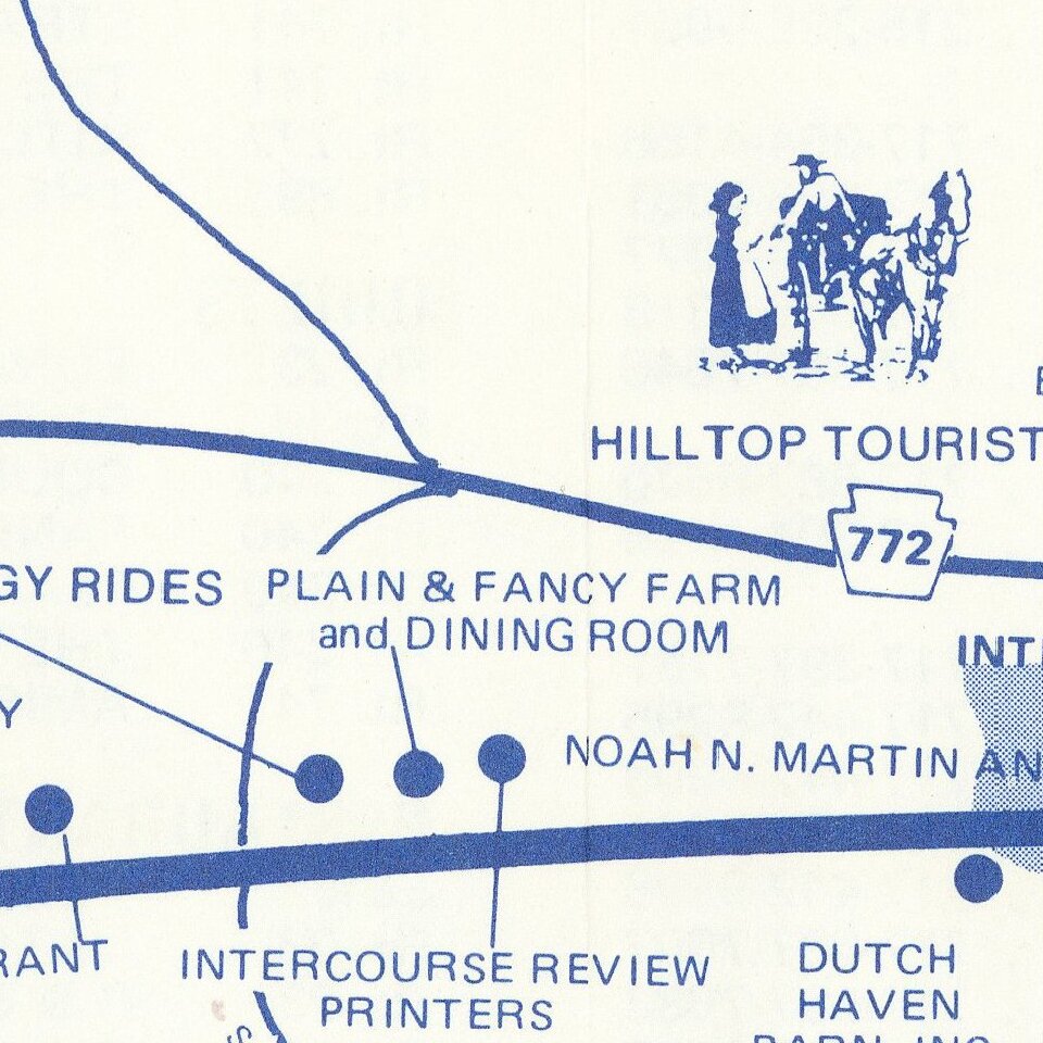
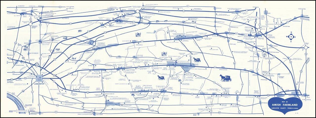
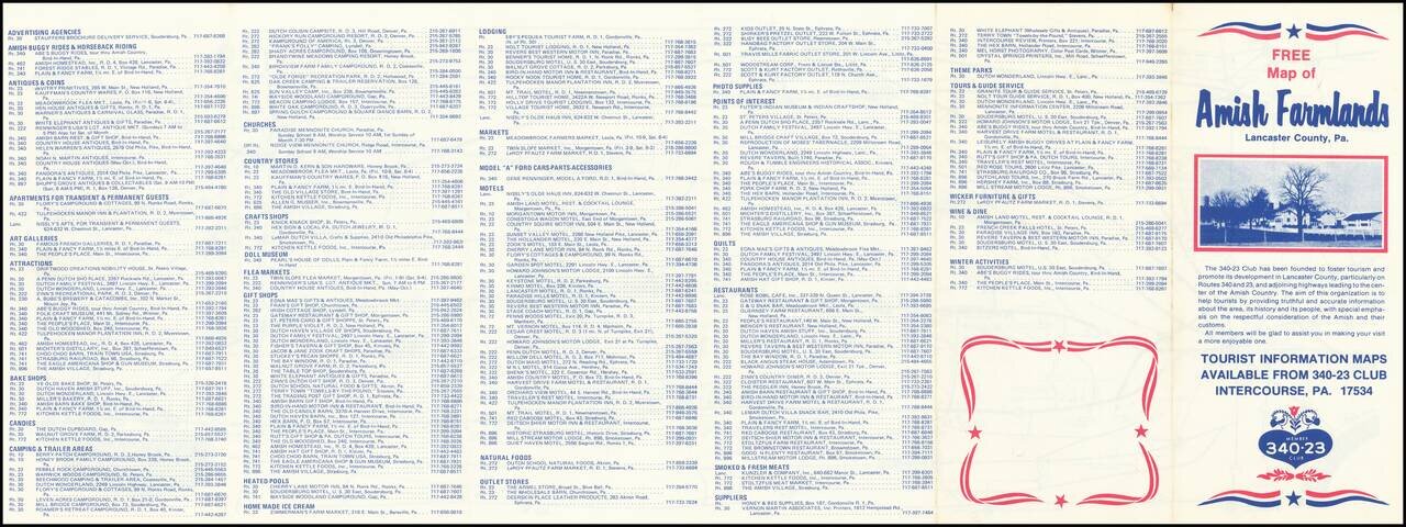
Early edition of this promotional map of the Amish Country.

Interesting schematic style road map of the Amish Country, published to promote local businesses by the 340-23 Club.

The verso notes that the Free Map of Amish Farmlands, Lancaster County, Pa.” Shows points of interest and covered bridges. The map seems to have been printed periodically for several decades. This example includes the code A-76, which suggests the 1976 dating.


Special conditions for students!

If you are a student, write to us in telegram: @antiquemaps and indicate what material you need and for what work you need a map in high detail. We are ready to provide material on special terms. For students only!

Item information:

Year of creation:
Size:
14485x5428 px
Disk:
13.3926MiB
Number of pages:
2
Place:
Pennsylvania
Author:
340-23 Club.
$14.99

Related item