Map size in jpg-format: 794459B
Click to open in high resolution (open in new tab).
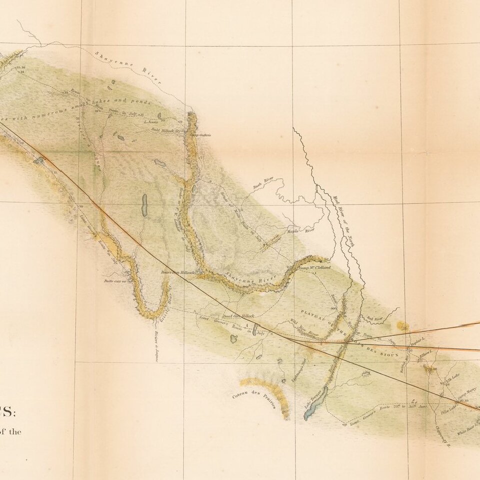
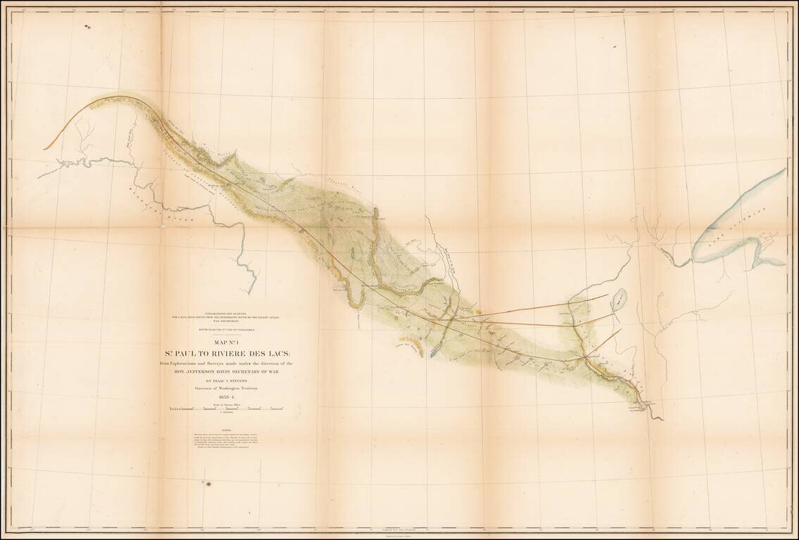
Detrailed map of the area from St. Paul and the Mississippi River to Fort Union and the confluence of the Yellowstone River and the Missouri River, published as part of the Pacific Railroad Surveys.
The map shows one of the routes surveyed from St. Paul westward, as a possible route for the transcontinental railroad.
The route of Isaac Stevens party and Lieutenant Grover's detachment are shown, along with the daily camps.
If you are a student, write to us in telegram: @antiquemaps and indicate what material you need and for what work you need a map in high detail. We are ready to provide material on special terms. For students only!
![[The First Maps in a la poupée Printed Color] Cartes en Couleur des Lieux Sujets aux tremblements de Terre Dans toutes les parties du Monde Selon le Sisteme de l’impulsion Solaire](/map/small/52293op.jpg)