logo

1877. Map illustrating the operations of the Seventh Division under Brig. General G. W. Morgan at Cumberland Gap, Tennessee, during a portion of the year 1862

  • Map illustrating the operations of the Seventh Division under Brig. General G. W. Morgan at Cumberland Gap, Tennessee, during a portion of the year 1862

Map illustrating the operations of the Seventh Division under Brig. General G. W. Morgan at Cumberland Gap, Tennessee, during a portion of the year 1862 information:

Year of creation: 
Resolution size (pixels): 
 8326x8953 px
Disk Size: 
 15.7064MiB
Number of pages: 
 1
Place: 
 n.p.
Author: 

Print information. Print size (Width x height in inches):
Printing at 72 dpi 
  115.64 х 124.35
Printing at 150 dpi 
 55.51 х 59.69
Printing at 300 dpi 
 27.75 х 29.84

An example of detailing the file of this map of in a printable high-resolution:

Click to open in high resolution (open in new tab).
Attention! this is just the central piece (central area 960x960 px) of the map file!
This is an example, so that you can see and study the level of detail of a given map. The entire Map will be fully available after payment!

Map illustrating the operations of the Seventh Division under Brig. General G. W. Morgan at Cumberland Gap, Tennessee, during a portion of the year 1862

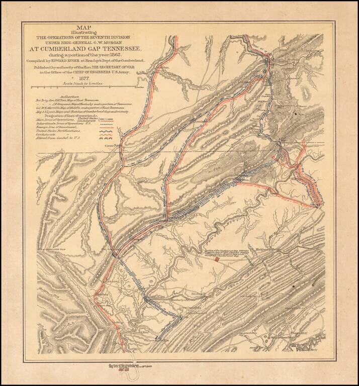
Interesting color-printed battle plan showing the operations of General G. W. Morgan in the Cumberland Gap, Tennessee. General Morgan's actions resulted in the capture of the Cumberland Gap for the Union. The Union occupied the Gap for three months.

The map names a number of important authorities as its sources:

  • Bvt. Brig. Gen. O. M. Poe's Map of East Tennessee.
  • Bvt. Brig. Gen. J. H. Simpson's Map of Kentucky and a portion of Tennessee.
  • Col. W. E. Merrill's Map of Middle and a portion of East Tennessee.
  • Maj. S. S. Lyon's Maps and Sketches of Cumberland Gap and vicinity.

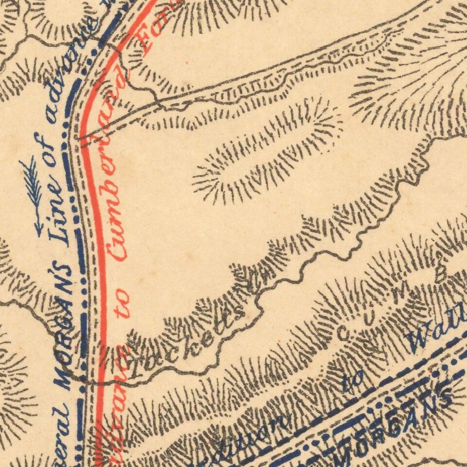
The key differentiates between different kinds of U.S. and Confederate lines and fortifications.


Special conditions for students!

If you are a student, write to us in telegram: @antiquemaps and indicate what material you need and for what work you need a map in high detail. We are ready to provide material on special terms. For students only!

Item information:

Year of creation:
Size:
8326x8953 px
Disk:
15.7064MiB
Number of pages:
1
Place:
n.p.
Author:
Edward Ruger.
$14.99

Related item