
Map size in jpg-format: 48.0533MiB
Click to open in high resolution (open in new tab).
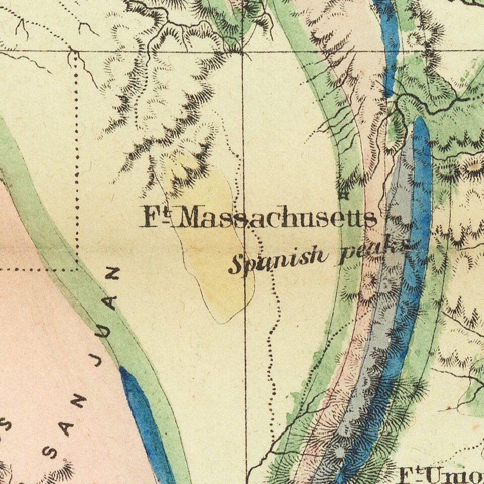
Geological map which accompanied William H. Emory's Report on the United States and Mexican Boundary Survey, one of the classic maps of Texas and Western history.
"On August 15, 1854," notes William Goetzmann, "Major William H. Emory was ordered by the Secretary of the Interior to complete the marking of the United States-Mexican boundary subsequent to the Gadsden Purchase of 1853. In addition he was ordered to make 'an examination of the country contiguous to the line to ascertain its practicability for a railway route to the Pacific' and also to collect information 'in reference to the agricultural and mineral character of the country and its present occupants.' The result of Emory's labors on this survey . . . were finally published in three massive volumes between 1857 and 1859. Emory's Report was perhaps the most complete scientific description ever made of the lands, the people, and the border country. . . ."
Goetzmann notes that Emory's Report also provided a monumental contribution to American geology. The map offered here was prepared by scientist James Hall to accompany the geological section of the report, and it reflects the state-of-the-art of that science in the mid-nineteenth century. The geological section, writes Goetzmann, "was the first attempt by reputable scientists to construct an all-over version of the trans-Mississippi geography. . . . In addition to this the three geologists-Parry, Schott and Hall-attempted to derive causal principles from the mass of observed data and thus to reconstruct the geological history of the region."
If you are a student, write to us in telegram: @antiquemaps and indicate what material you need and for what work you need a map in high detail. We are ready to provide material on special terms. For students only!

![[Signed Political Satire Artwork] Vietnam ... Vietnam ... Vietnam ...](/map/small/68726.jpg)
