Map size in jpg-format: 22.2554MiB
Click to open in high resolution (open in new tab).
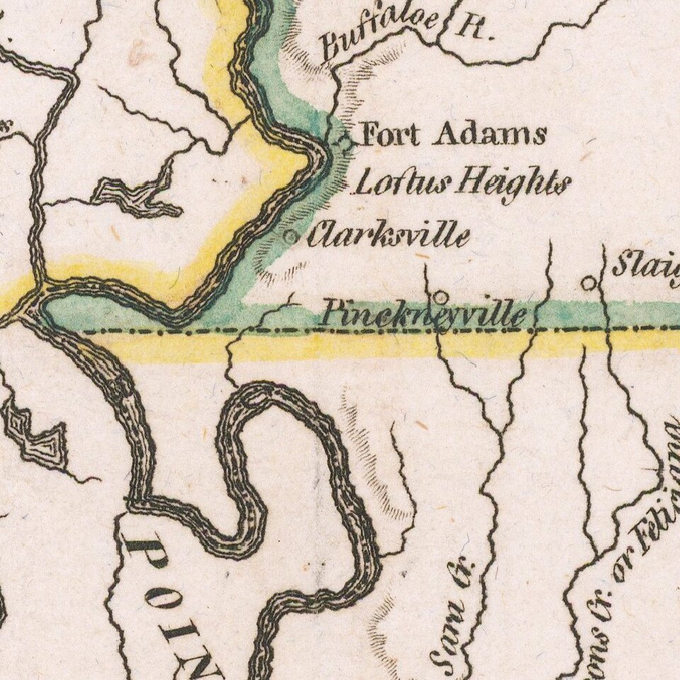
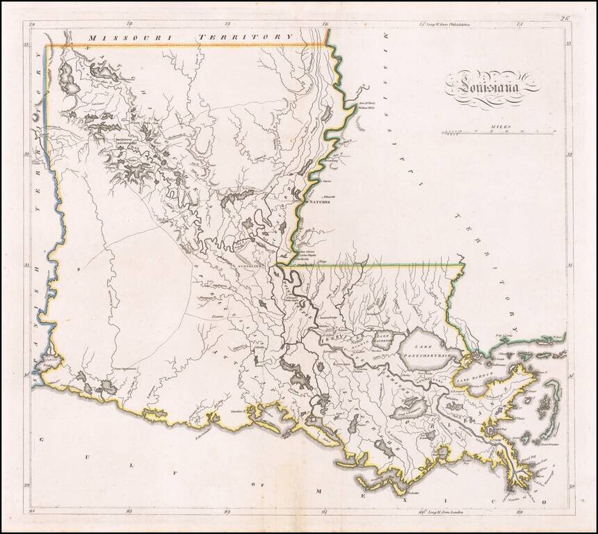
Louisiana on the Eve of the Battle of New Orleans
A fine example of Mathew Carey's map of Louisiana, one of the earliest large format maps of the state to appear in a commercial atlas.
Includes roads, towns, rivers, lakes, and a host of other details.
Remarkable early detail, only 10 years after admission to the United States.
If you are a student, write to us in telegram: @antiquemaps and indicate what material you need and for what work you need a map in high detail. We are ready to provide material on special terms. For students only!
![The Coast of West Florida and Louisiana . . . [with] The Peninsula and Gulf of Florida or Channel of Bahama with the Bahama Islands . . .](/map/small/66344.jpg)