Map size in jpg-format: 18.2478MiB
Click to open in high resolution (open in new tab).
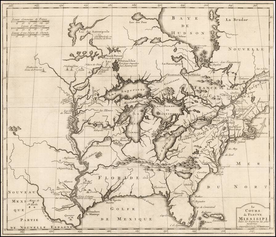
Important early derivative of Louis Hennepin's seminal map of North America.
Benard's map provides an excellent treatment of the region from the Mississippi River and the Great Lakes eastward to the eastern seaboard. Along the Mississippi, Benard provides excellent details of Indian villages in the Upper Mississippi Valley along with settlements all the way down, although the mouth of the River is pushed far to the west of its true course, consistent with the error on the Hennepin map. As a result, the mouth of the Mississippi is in Texas.
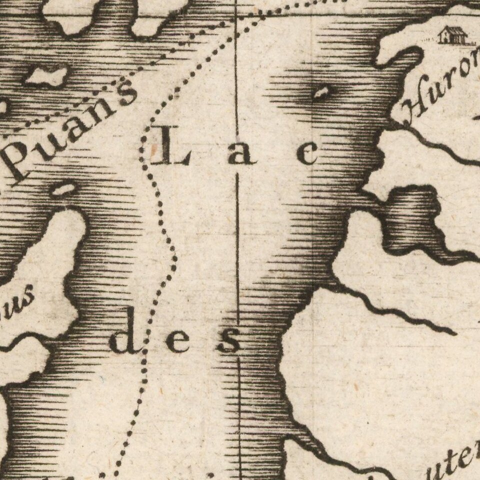
The Great Lakes are treated in a massive, exaggerated form. Fort Miamis is shown near present day Chicago. A water course is shown from the Mississippi to Lac Illinois (Michigan), with only a short portage. A number of early place names and Indian tribes are shown in and around the Great Lakes region. The course of the Hohio (Ohio) River is truly fascinating, beginning in modern day Arkansas and extending nearly due east in the direction of the Chesapeake, following the Mons Apalache (Appalachian Mountains), which extend west to the Iowa Illinois border.
The massive lake first seen on the LeMoyne map is still present. Several early settlements in the interior of the Southeast include Vitacucho, Tascaluca (Tuscalosa), Edelano (Georgia), and Pouhantan (on the Chesapeake), as well as Cap Carlos (Tampa), Cap Floride (Miami), Cap Canaveral, St. Augustin and St. Matheo. Cape Cod is Hollandia and Lang Eyland (Long Island, NY) is an island.
This map is a later version of Hennepin's map, which appeared in Histoire des Yncas - Rois du Perou with L'Histoire de la Conquete de la Floride with Nouvelle Découverte d'un Très Grand Pays, situé dans l'Amerique, a set of volumes with accounts of America written by Hennepin and Garcilaso de la Vega, and published in Amsterdam, and/or possibly Paris, in 1737. De la Vega's mother was an Inca; he lived during the latter 16th century and is one of the most important early Spanish writers on America.
If you are a student, write to us in telegram: @antiquemaps and indicate what material you need and for what work you need a map in high detail. We are ready to provide material on special terms. For students only!

![[Signed Political Satire Artwork] Vietnam ... Vietnam ... Vietnam ...](/map/small/68726.jpg)
