logo

1796. La Parte Orientale Del Regno Di Boemia delineata Sulle Ultime Osservazzioni. . .1797

  • La Parte Orientale Del Regno Di Boemia delineata Sulle Ultime Osservazzioni. . .1797

La Parte Orientale Del Regno Di Boemia delineata Sulle Ultime Osservazzioni. . .1797 information:

Year of creation: 
Resolution size (pixels): 
 3277x4328 px
Disk Size: 
 2.99395MiB
Number of pages: 
 1
Place: 
 Rome

Print information. Print size (Width x height in inches):
Printing at 72 dpi 
  45.51 х 60.11
Printing at 150 dpi 
 21.85 х 28.85
Printing at 300 dpi 
 10.92 х 14.43

An example of detailing the file of this map of in a printable high-resolution:

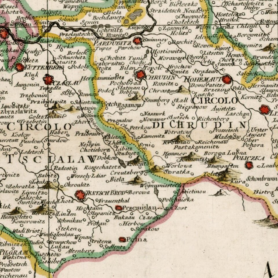
Click to open in high resolution (open in new tab).
Attention! this is just the central piece (central area 960x960 px) of the map file!
This is an example, so that you can see and study the level of detail of a given map. The entire Map will be fully available after payment!

La Parte Orientale Del Regno Di Boemia delineata Sulle Ultime Osservazzioni. . .1797

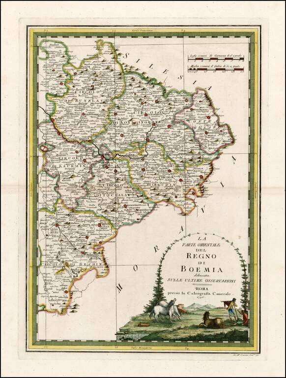
Rare and highly decorative regional map of the Eastern part of Bohemia.

The map shows Prague in the west and extends to the Moravian and Silesian borders. Includes an ornate cartouche.


Special conditions for students!

If you are a student, write to us in telegram: @antiquemaps and indicate what material you need and for what work you need a map in high detail. We are ready to provide material on special terms. For students only!

Item information:

Year of creation:
Size:
3277x4328 px
Disk:
2.99395MiB
Number of pages:
1
Place:
Rome
Author:
Giovanni Maria Cassini.
$14.99

Related item