Map size in jpg-format: 6.38286MiB
Click to open in high resolution (open in new tab).
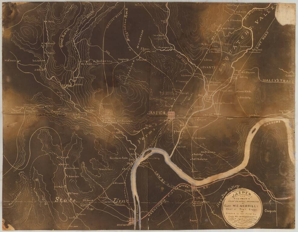
Early Photography & Battlefield Mapmaking Technology!
Very rare and important Union Civil War "black map" or "sun map," printed in the field with a photographic process utilizing a mobile laboratory and darkroom.
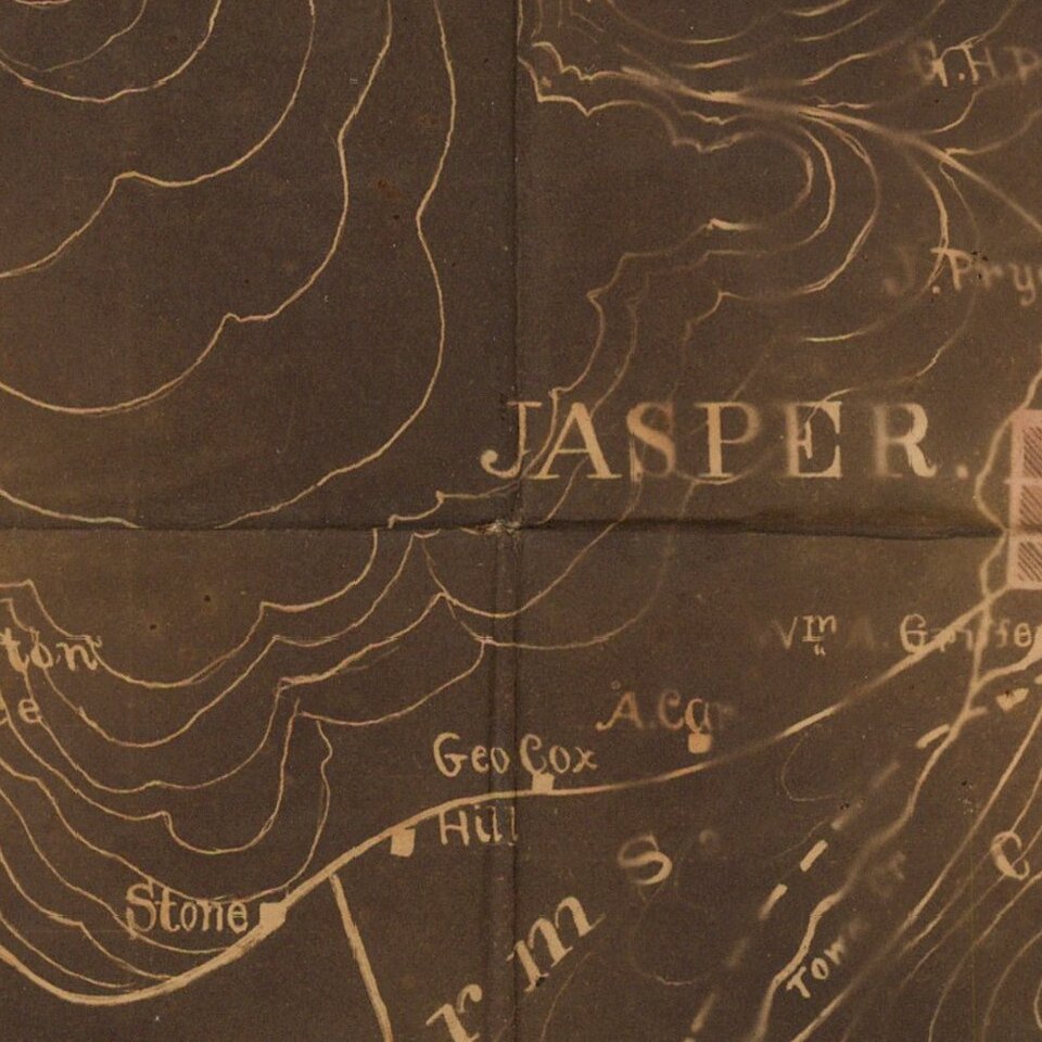
The map is centered on Jasper, Tennessee, which lies 19 miles west of Chattanooga.
This rare civil-war era field map was produced in support of the Chickamauga Campaign preceding the Battle of Chickamauga fought September 19-20, 1863. The battle was fought between the Army of the Cumberland under Major General William Rosecrans and the Confederate Army of Tennessee under General Braxton Bragg, and was named for Chickamauga Creek, which curves near the battle area.
William Margedant's photographic process (today called a "contact print") was employed early in the war by a team of topographical engineers and draftsmen to provide commanders with maps that could be updated frequently using:
..."a fac-simile photo-printing device invented by Captain Margedant, chief assistant. This consisted of a light box containing several india-rubber baths, fitting into one another, and the proper supply of chemicals. Printing was done by tracing the required map on thin paper and laying it over a sheet coated with nitrate of silver. The sun's rays passing through the tissue paper blackened the prepared paper except under the ink lines, thus making a white map on black ground. … The process, however, was expensive, and did not permit the printing of a large number of copies ; therefore these maps were only issued to the chief commanders. " (Van Horne, Thomas B., History of the Army of the Cumberland. Cincinnati: Robert Clarke & Co., 1875, vol. 2, p. 456 -8. )Rarity
Less than a half dozen copies of "black maps" are recorded as having been printed with Margedant's revolutionary photographic process.
OCLC locates only 2 surviving examples of this type of map, a map of Part of Cobb Co. Ga. . . . June 19 (1864) and one other copy of this field map of Jasper and Vicinity (both at the Clements Library, University of Michigan).
If you are a student, write to us in telegram: @antiquemaps and indicate what material you need and for what work you need a map in high detail. We are ready to provide material on special terms. For students only!


