Map size in jpg-format: 13.2758MiB
Click to open in high resolution (open in new tab).
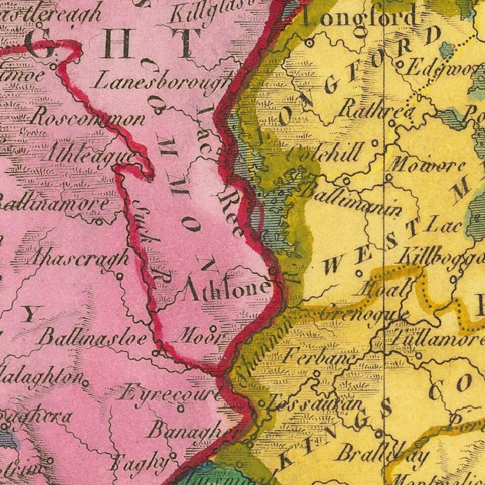
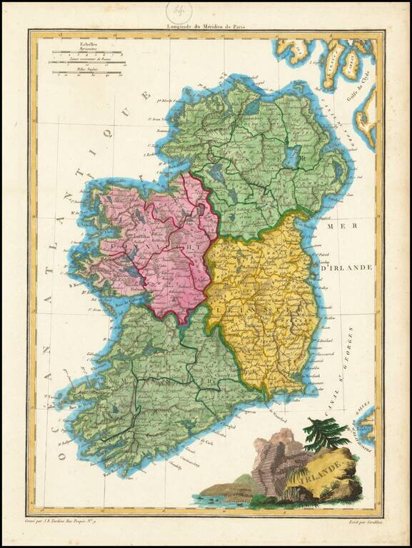
Engraved antique map of Ireland, engraved by J.B. Tardieu, and published by Conrad Malte-Brun in Paris, 1812.
In the map, Ireland is divided into Connaught, Ulster, Linster, and Munster.
The cartouche in the bottom-right features the columnar basalt of the Giant's Causeway in County Antrim.
If you are a student, write to us in telegram: @antiquemaps and indicate what material you need and for what work you need a map in high detail. We are ready to provide material on special terms. For students only!
![Johnson's Ireland [with] Johnson's Scotland](/map/small/71010.jpg)