Map size in jpg-format: 89.5857MiB
Click to open in high resolution (open in new tab).
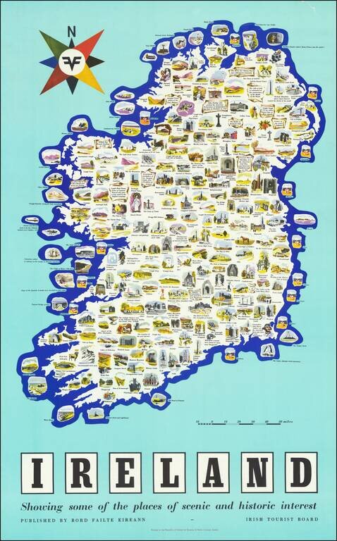
Vintage pictorial poster map of Ireland, issued by the Irish Tourist Board (Bord Failte Eireann) circa 1958.
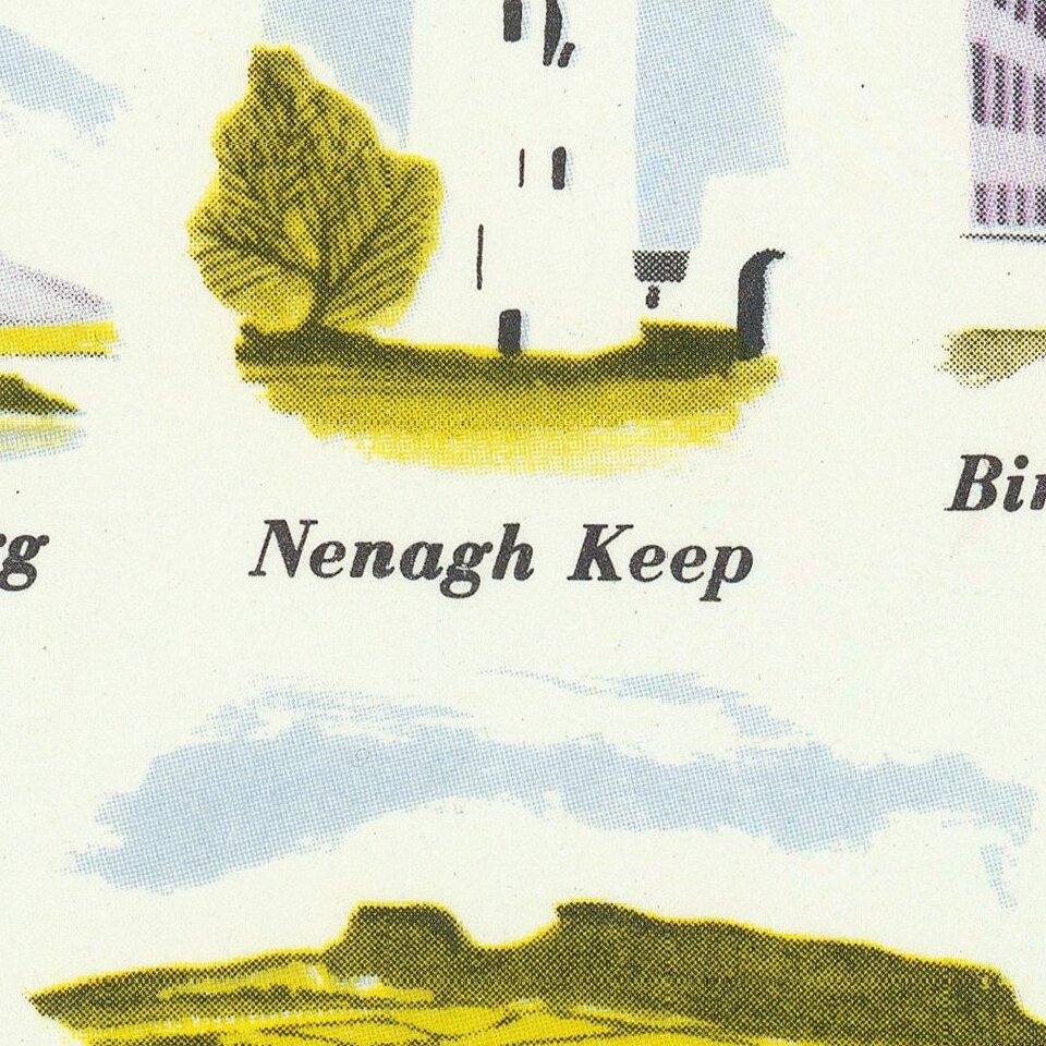
The map features dozens of captioned illustrations covering Ireland's many landmarks and points of interest.
The map poster was printed by Browne and Nolan Limited in Dublin.
If you are a student, write to us in telegram: @antiquemaps and indicate what material you need and for what work you need a map in high detail. We are ready to provide material on special terms. For students only!
![Johnson's Ireland [with] Johnson's Scotland](/map/small/71010.jpg)