Map size in jpg-format: 29.1966MiB
Click to open in high resolution (open in new tab).
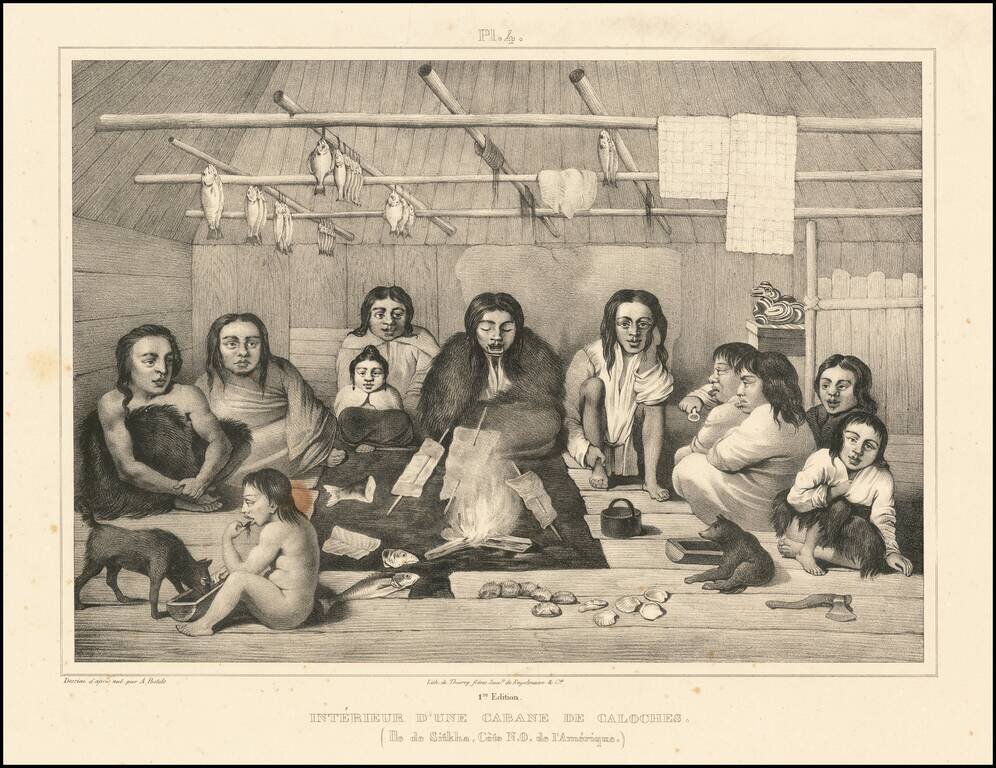
Beautiful antique lithograph of the interior of a Tlingit cabin, from an image drawn by Alexander Filippovich Postels near Sitka, which was then part of Russian America.
The scene depicts 11 individuals sitting around a central fire, with fish cooking and drying around them.
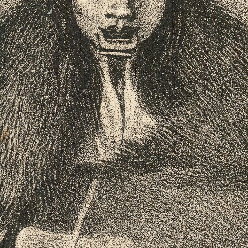
Postel has taken particular care to illustrate the lip plugs or "labrets" of some of the female Tlingit.
A Tlingit headdress appears to be sitting on a shelf in the background.
This is plate 4 from the atlas to accompany the First French edition of the account of Fréderic Lütke's voyage around the world: Voyages autour du Monde Fait Par Ordre de Sa Majesté L'Empereur Nicolas Ier. sur la Corvette Le Séniavine, pendant les années 1826, 1827, 1828, & 1829, Sous le Commandement de Fréderic Lütke...
The atlas included 51 lithographed plates and 3 maps.
The voyage book is extremely rare and was last offered for sale by Christie's Paris, in 2014, where it made over 50,000 euros.
The Voyage of the Seniavine
Lütke's voyage was one of many Russian scientific naval surveys in the first part of the 19th century. Amid the tensions of the early 1820s over borders and fishing rights in the North Pacific involving Russia, Great Britain, and the United States, the tsar originally intended to send the Seniavin to the region as a warship. When these issues were resolved in the Russian-American and Anglo-Russian conventions of 1824 and 1825, the Seniavin instead was sent to survey the Alaskan and Asian coasts. The book, based upon the voyage and published in French in the early 1830s, offered new information of great interest to geographers and the wider scientific community in Europe at this time. The voyage of the Seniavin resulted in novel charts and names for new islands and geographical features in the Bering Sea and wider stretches of the Pacific Ocean. Litke visited New Archangel (present-day Sitka), the capital of Russian America, as well as Unalaska, the Pribilof Islands, Saint Matthew Island, and the Commander Islands in the Bering Sea.
If you are a student, write to us in telegram: @antiquemaps and indicate what material you need and for what work you need a map in high detail. We are ready to provide material on special terms. For students only!
![America [Manuscript Map Showing the Sea of the West!]](/map/small/41297dm.jpg)

![[Atlantis?] Ristretto Delle Carte presentate all' Academia delle Scienze di Parigi negli anni 1737 e 1752 dal Sig di Buache](/map/small/58667.jpg)