Map size in jpg-format: 928800B
Click to open in high resolution (open in new tab).
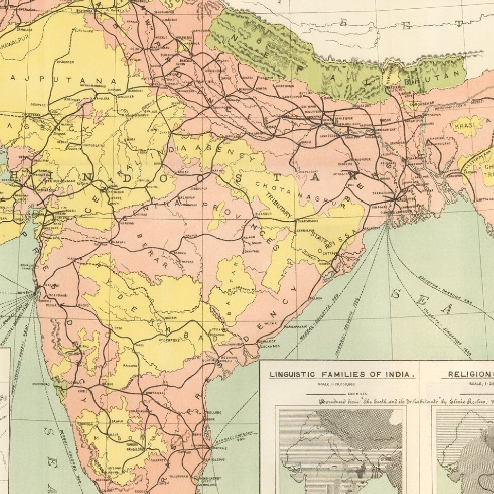
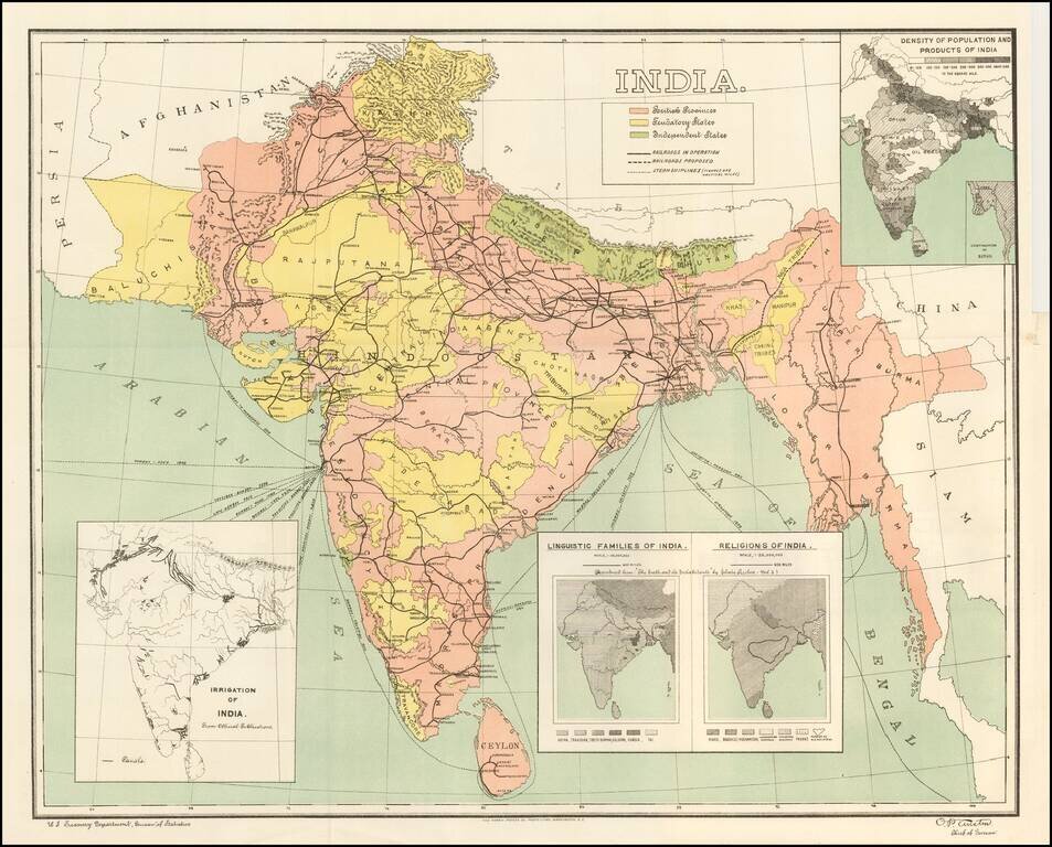
Detailed map of India, showing density of population, lingusitic information, religion, etc.
The map is color coded to show British Provinces, Fendatory Provinces and Independent Provinces.
If you are a student, write to us in telegram: @antiquemaps and indicate what material you need and for what work you need a map in high detail. We are ready to provide material on special terms. For students only!

![Il Disegno Della Terza Parte Dell' Asia [Gastaldi's Wall Map of SE Asia with extra panels!]](/map/small/30554hbp.jpg)
