Map size in jpg-format: 568286B
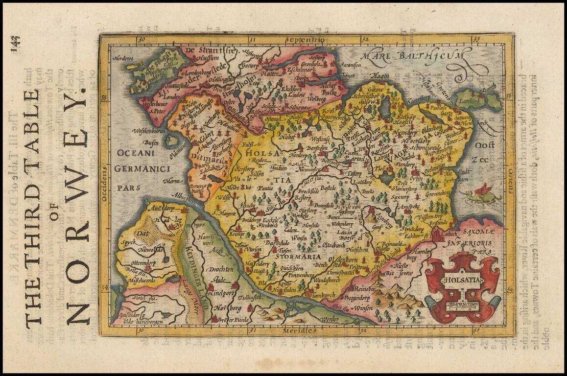
Decorative regional map of Northern Germany and part of Denmark (then Norway), showing Hamburg, Lubeck, etc.
Decorative cartouche and a sea monster in the Baltic.
From an English Edition of the Mercator-Hondius Atlas.
Henricus Hondius (1597-1651) was a Dutch engraver and mapmaker, a member of a prominent cartographic family. His father, Jodocus Hondius, was also an engraver and geographer. While working with his father, Henricus was instrumental in the expansion and republishing of Mercator’s atlas, first published in 1595 and republished by Hondius in 1606.
Upon his father’s death in 1612, Henricus and his brother, Jodocus the Younger, took over the business. He set up his own shop in 1621, where he continued to release new editions of the Mercator atlas. Later, he partnered with his brother-in-law, Jan Janssonius, in continuing to expand and publish Mercator’s atlas, which would become known as the Mercator-Hondius-Janssonius atlas. Born and based in Amsterdam, he died there in 1651.
If you are a student, write to us in telegram: @antiquemaps and indicate what material you need and for what work you need a map in high detail. We are ready to provide material on special terms. For students only!


