Map size in jpg-format: 59.3873MiB
Click to open in high resolution (open in new tab).

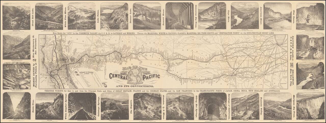
Decorative map of the route of the Central Pacific from the midwest to San Francisco, illustrated with 24 images of the west, primarily of California and Nevada.
Decorative and highly detailed map, with vignettes of major points of interest in the west.
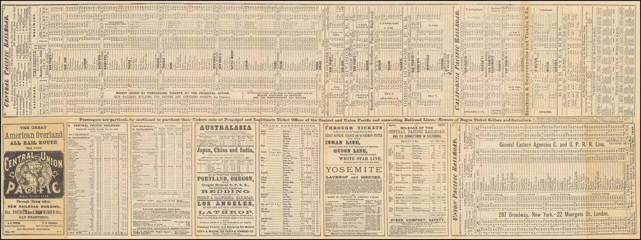
Detailed timetable on the verso. May 1875 edition.
If you are a student, write to us in telegram: @antiquemaps and indicate what material you need and for what work you need a map in high detail. We are ready to provide material on special terms. For students only!
![[The First Maps in a la poupée Printed Color] Cartes en Couleur des Lieux Sujets aux tremblements de Terre Dans toutes les parties du Monde Selon le Sisteme de l’impulsion Solaire](/map/small/52293op.jpg)