Map size in jpg-format: 59.399MiB
Click to open in high resolution (open in new tab).
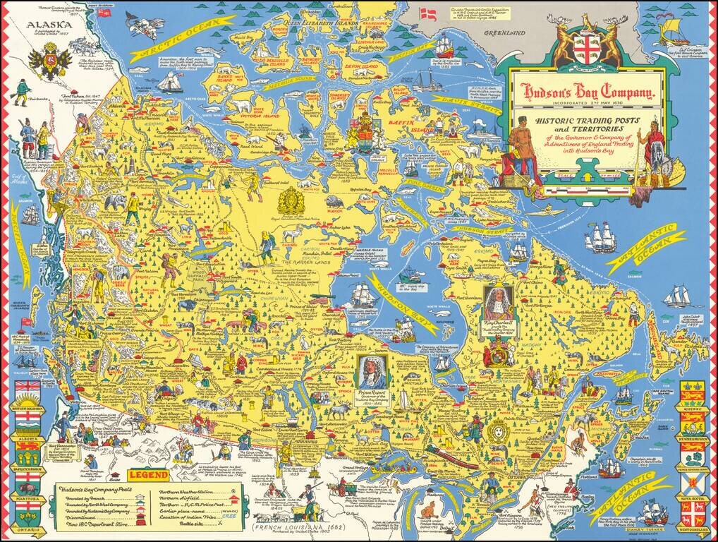
"Third Revision" of this marvelous pictorial map celebrating the history of the Hudson's Bay Company, published in Toronto.
Fine large format map drawn by Toronto Artist Stanley Turner, one of the best known WWII map illustrators.
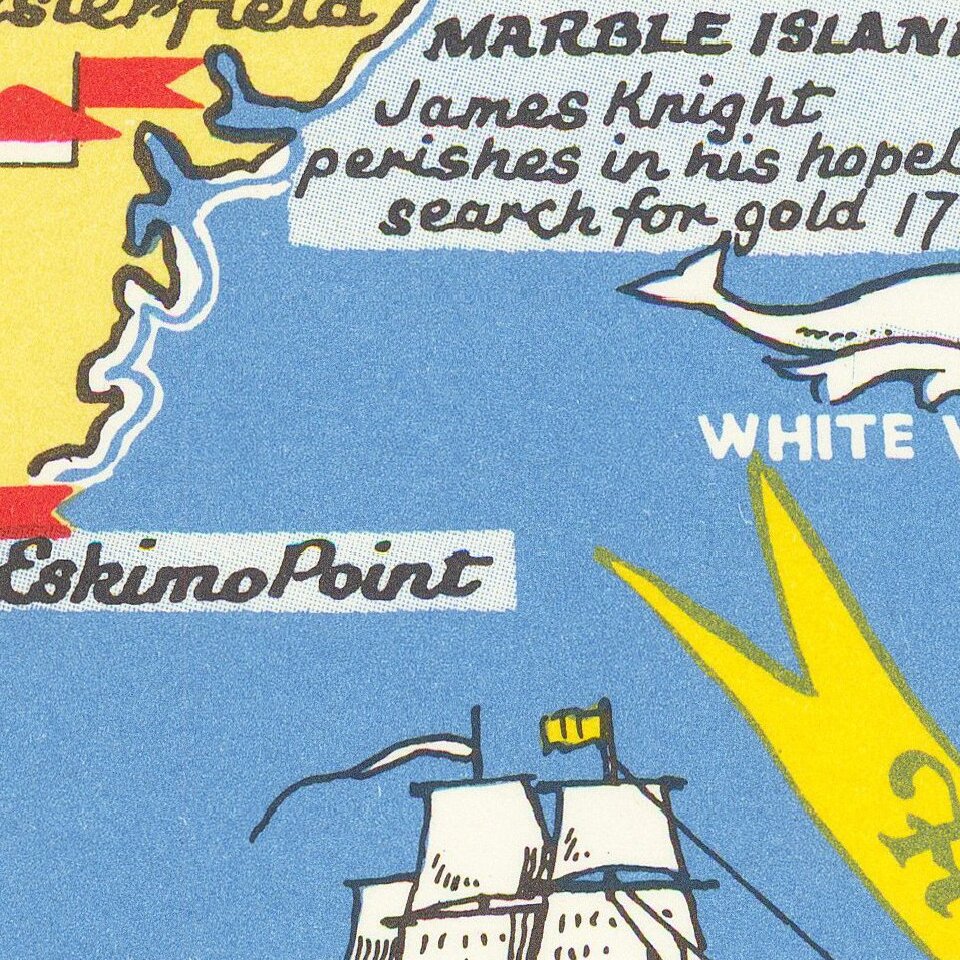
The map is filled with historical information and vignettes illustrating fauna, railways, explorers, inhabitants, ships, canoes &c.
If you are a student, write to us in telegram: @antiquemaps and indicate what material you need and for what work you need a map in high detail. We are ready to provide material on special terms. For students only!
![[Signed Political Satire Artwork] Vietnam ... Vietnam ... Vietnam ...](/map/small/68726.jpg)

