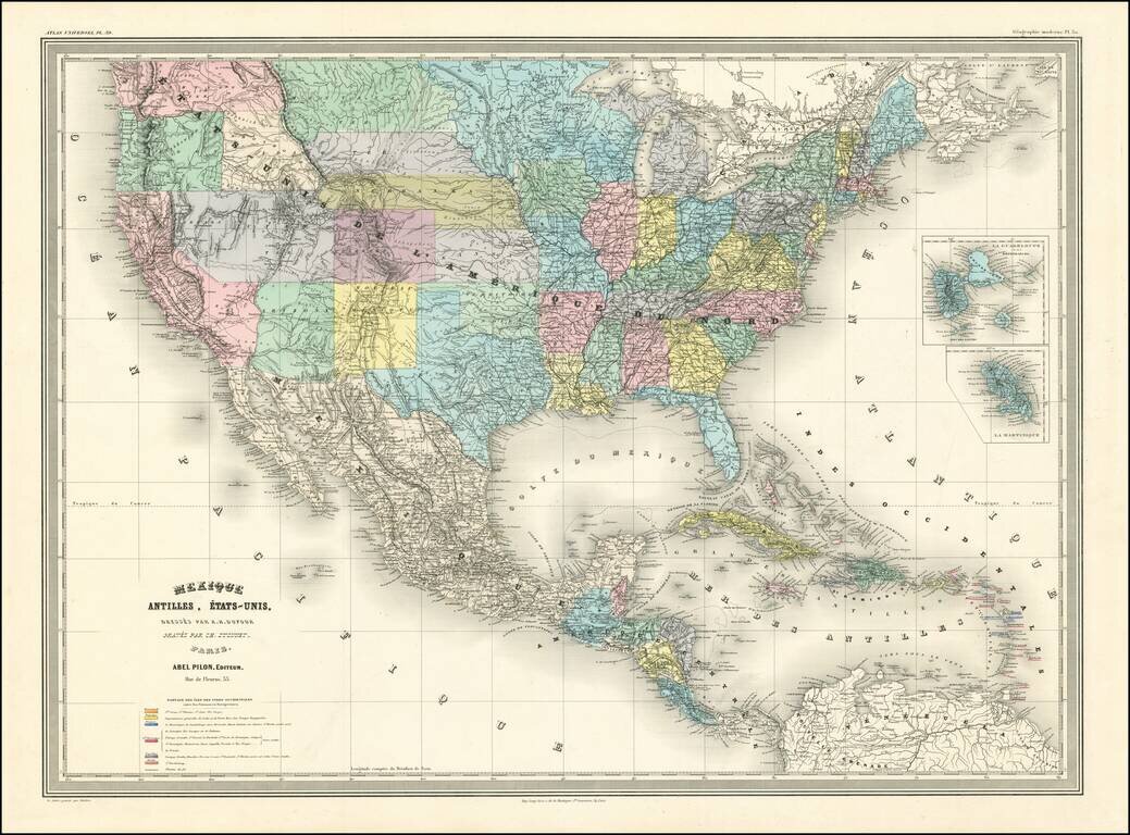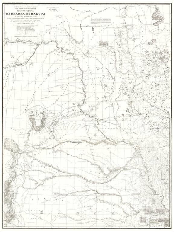
Map size in jpg-format: 30.9067MiB
Click to open in high resolution (open in new tab).

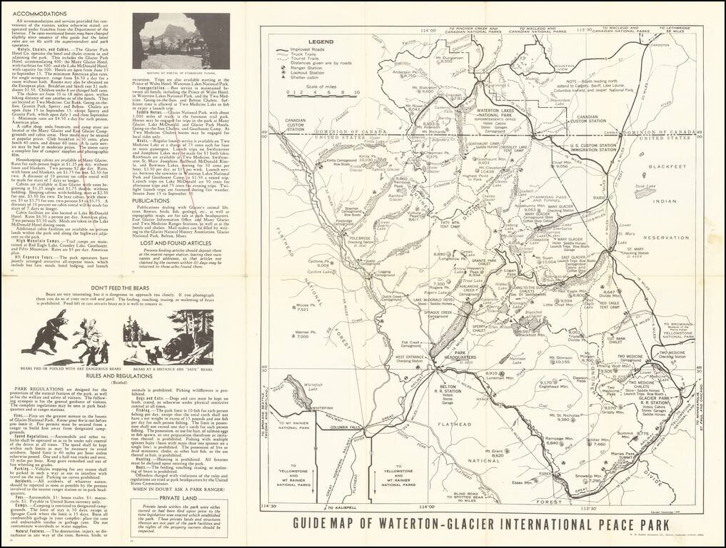
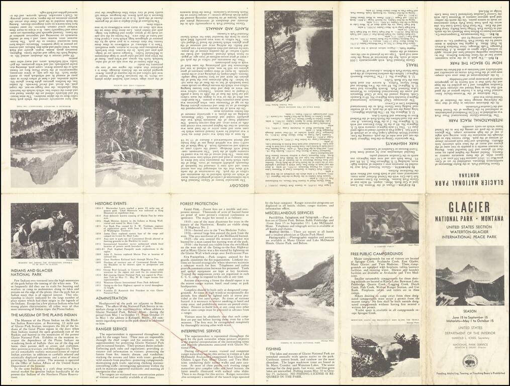
Rare early state of this road map of Glacier Park area, published for the United States National Park Service.
The map includes roads through the park, distances, important points of interest, elevations, etc., including a delineation of the Continental Divide.
Many campgrounds are shown, with augmented notes such as "no house trailers". Many hotels, coffee shops, cabins, boat launches and other notes interspersed throughout, with pictures, park rules and tourist information on the verso.
Waterton-Glacier International Peace Park
Pursuant to legislation passed by the Congress of the United States, President Hoover issued a proclamation establishing the Waterton-Glacier International Peace Park established in 1932.. Similar action was taken by the Canadian Government, and representatives of both countries were present at Glacier Park, Mont., on June 18, 1932, when appropriate dedication ceremonies were held.
The purpose of this action was to commemorate the record of long-standing peace and good will between the two countries. For purposes of administration, the component parts of the Peace Park each retain its nationality and individuality and each unit will continue to function as it has in the past.
If you are a student, write to us in telegram: @antiquemaps and indicate what material you need and for what work you need a map in high detail. We are ready to provide material on special terms. For students only!