logo

1883. Gray's New Map of Dakota with part of Manitoba etc.

  • Gray's New Map of Dakota with part of Manitoba etc.

Gray's New Map of Dakota with part of Manitoba etc. information:

Year of creation: 
Resolution size (pixels): 
 10491x15362 px
Disk Size: 
 40.0556MiB
Number of pages: 
 1
Place: 
 Philadelphia
Author: 

Print information. Print size (Width x height in inches):
Printing at 72 dpi 
  145.71 х 213.36
Printing at 150 dpi 
 69.94 х 102.41
Printing at 300 dpi 
 34.97 х 51.21

An example of detailing the file of this map of in a printable high-resolution:

Click to open in high resolution (open in new tab).
Attention! this is just the central piece (central area 960x960 px) of the map file!
This is an example, so that you can see and study the level of detail of a given map. The entire Map will be fully available after payment!

Gray's New Map of Dakota with part of Manitoba etc.

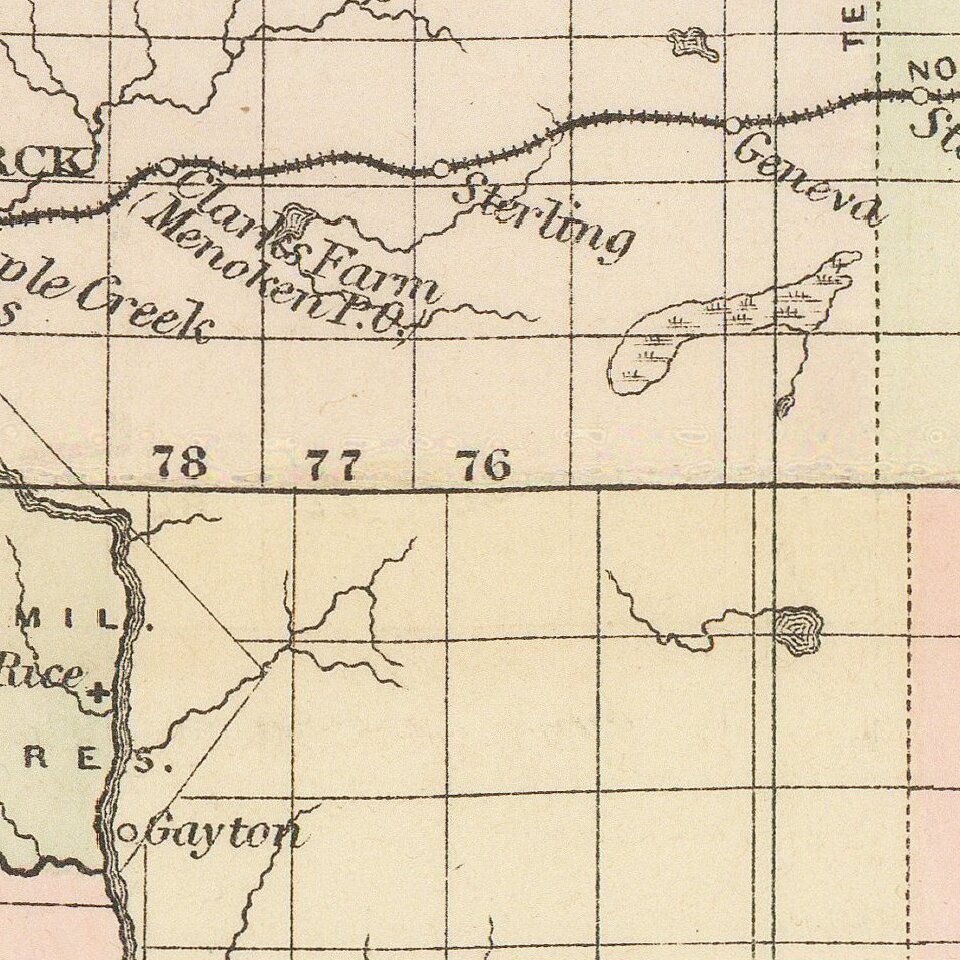
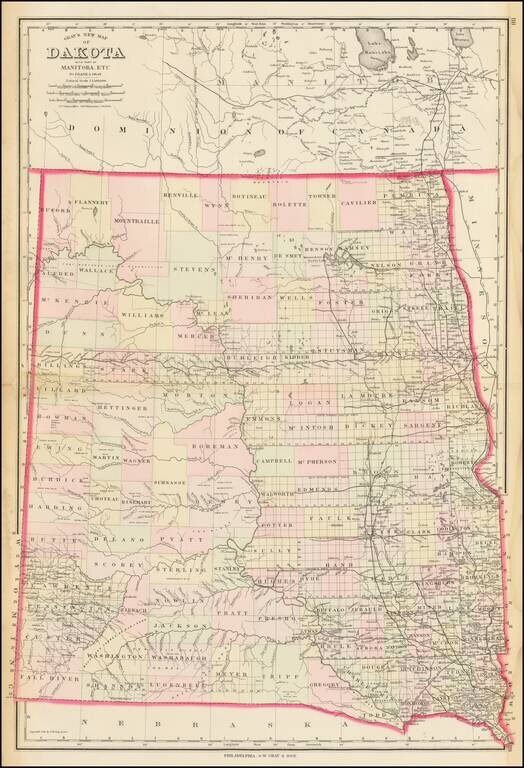
Highly detailed map of Dakota Territory, published by OW Gray & Son.

The map is colored by counties and showing towns, roads, railroads, Post Offices, etc.

Many counties not yet formed.

O. W. Gray was a publishing firm based in Philadelphia. Later, they published as O. W. Gray & Son. They published atlases in the late nineteenth century. Gray's National Atlas was one of the most successful commercial ventures of the 1870s and one of the last to employ hand coloring on maps.


Special conditions for students!

If you are a student, write to us in telegram: @antiquemaps and indicate what material you need and for what work you need a map in high detail. We are ready to provide material on special terms. For students only!

Item information:

Year of creation:
Size:
10491x15362 px
Disk:
40.0556MiB
Number of pages:
1
Place:
Philadelphia
Author:
O.W. Gray.
$14.99

Related item