Map size in jpg-format: 35.5382MiB
Click to open in high resolution (open in new tab).
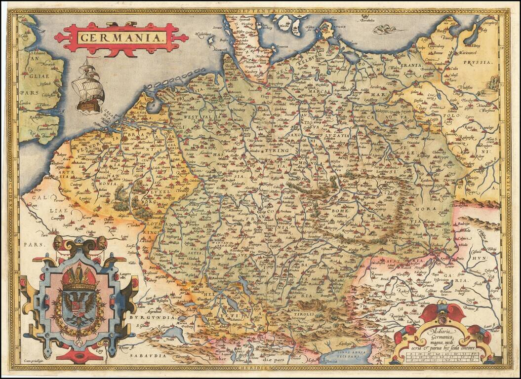
Fine old example of Ortelius' map of the German Empire, from his Theatrum Orbis Terrarum, the first modern atlas of the world.
The map extends from The English Channel to the Baltic, the Vistula and Poland in the northeast, Budapest, Venice and the Adriatic in the southeast and Milan and Geneva in the South. Three decorative cartouches and large sailing ship and sea monster.
If you are a student, write to us in telegram: @antiquemaps and indicate what material you need and for what work you need a map in high detail. We are ready to provide material on special terms. For students only!


